Oklahoma Social Studies 4.C.2.3
Standard Cluster
- 4.C.2
- Apply the tools and concepts of geography to examine the physical and human geography of the United States of America.
Analyze the human characteristics of the United States of America. Identify and locate on a political map the fifty states, the nation’s capital and its most populated cities. Explain how the United States of America is home to people from different places and from many backgrounds. Examine motives for human migration by identifying basic push and pull factors (e.g., pull factors: economic opportunity, religious freedom, education; push factors: instability, conflict, natural disasters), using examples from United States of America history.
Oklahoma Academic Standards for Social Studies (2026) · 4.C.2
Cluster contents
Standards in This Cluster
4.C.2.3 is a cluster heading. These are the individual standards under it.
- 4.C.2.3.A
Identify and locate on a political map the fifty states, the nation’s capital and its most populated cities.
- 4.C.2.3.B
Explain how the United States of America is home to people from different places and from many backgrounds.
- 4.C.2.3.C
Examine motives for human migration by identifying basic push and pull factors (e.g., pull factors: economic opportunity, religious freedom, education; push fac...
Teacher's field guide
What This Cluster Means
What Students Need to Do
- Students use a political map to find all 50 states, Washington, D.C., and the country's largest cities. They describe the different peoples who live in the United States, including Indigenous peoples and families with roots in other places. They use examples from U.S. history to explain reasons people left one place and moved to another.
What Mastery Looks Like
- A student locates all 50 states, Washington, D.C., and major cities on a political map. They describe Indigenous communities and communities with roots in many parts of the world. They explain that famine pushed many Irish families to leave in the 1840s, while jobs drew them to U.S. cities.
Common Misconceptions
- Students may confuse Washington, D.C., with Washington state or assume New York City is New York's capital. They may call famine a pull factor rather than a push factor. They may assume everyone in the country came from another country, overlooking Indigenous peoples.
How to Assess It
- Exit ticket: On a blank political map, label Washington, D.C., New York City, California, Texas, Illinois, Arizona, and New York. Then write one push factor and one pull factor for Irish families moving to the United States in the 1840s.
Lesson moves
Ways to Teach It
Give pairs a blank political map and state-name cards; have them place all 50 states and Washington, D.C., then check an atlas.
Ask students to write: 'Why might an Irish family leave during the 1840s famine, and why might they choose a U.S. city?'
Play map relay: call a state or major city, and have students mark its location on an outline map before checking an atlas.
Give students a printed Census city population table; have them mark the five largest cities on a political map.
Free download
Printable 4.C.2.3 Worksheet
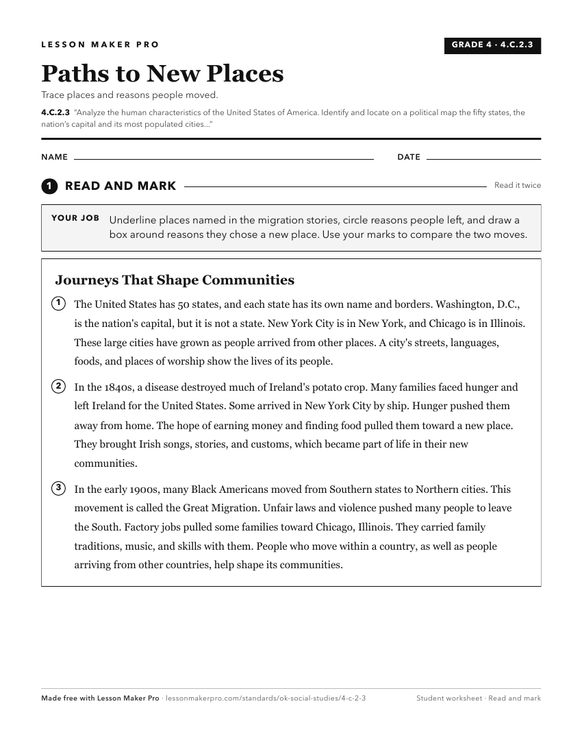
A ready-to-print activity worksheet aligned to 4.C.2.3, with an answer key for the teacher on its own page. No account needed.
PDF, US Letter, prints cleanly in black and white.
Download the worksheetKeep exploring
Related Standards
- USH.C.7.3
Analyze the ongoing social and political transformations within the United States of America , affecting domestic and foreign policy.
- USG.C.2.1
Evaluate the extent to which historical ideas and principles of human nature and authority have shaped the United States of America as a constitutional republic...
- USG.C.3
Analyze the fundamental principles of the American republic, as established in the Constitution of the United States of America.
- 4.C.2.1.E
Analyze the human and physical characteristics of the United States of America using the Five Themes of Geography (location, place, human-environment-interactio...
Turn this cluster into a lesson
Grade, subject, topic, and the complete cluster are prefilled. Create one free, no account needed.
Also for this cluster:Make a WorksheetMake a QuizMake a Sub Lesson