Indiana Social Studies 5.G.3
The Standard
Locate the continental divide, the major drainage basins/watersheds, major sources of freshwater in the United States, and identify their impact on local and regional communities.
2026 Indiana Academic Standards: K-12 Social Studies
Teacher's field guide
What This Standard Means
What Students Need to Do
- Students find the continental divide and major U.S. drainage basins on a map. They identify freshwater sources, including rivers, lakes, and groundwater. They explain how those sources affect nearby towns and larger regions.
What Mastery Looks Like
- Given a U.S. map, students can mark the divide and outline the Mississippi, Columbia, Colorado, and Great Lakes basins. They can explain how a river supports shipping or how groundwater supplies farms.
Common Misconceptions
- Students may label only a river as its watershed, missing the land that drains into it. They may mistake the continental divide for a river or assume all freshwater comes from lakes.
How to Assess It
- On a U.S. map with rivers shown, have students mark the continental divide, shade the Mississippi and Columbia basins, and circle the Great Lakes. Ask them to write one way a marked water source affects a community.
Lesson moves
Ways to Teach It
Use a relief map and blue yarn to mark the divide, then draw arrows showing which way water flows on each side.
Ask: How might a town's water use change if its river also supplies farms downstream? Write two choices and who each affects.
Give pairs a river map and cards labeled Ohio, Snake, and Gunnison; match each river to the Mississippi, Columbia, or Colorado basin.
Show a local water utility page naming its water source; students write one way a drought could affect their community.
Free download
Printable 5.G.3 Worksheet
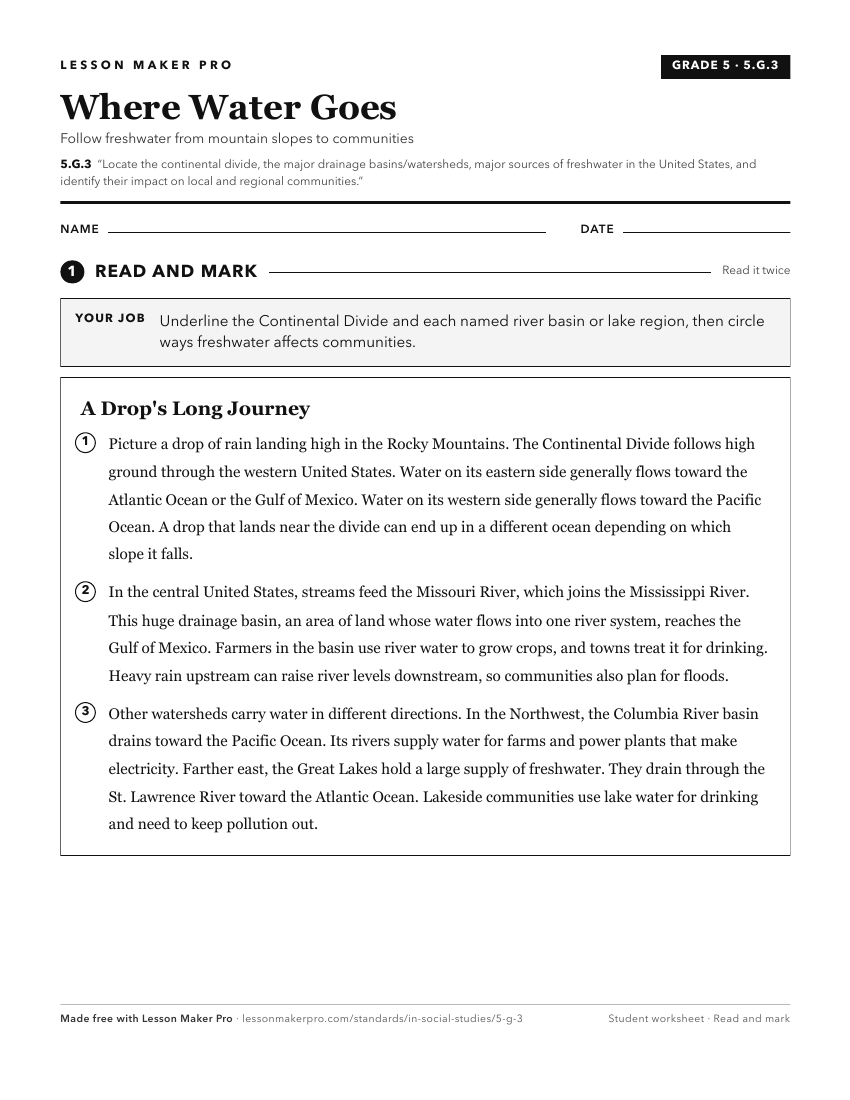
A ready-to-print activity worksheet aligned to 5.G.3, with an answer key for the teacher on its own page. No account needed.
PDF, US Letter, prints cleanly in black and white.
Download the worksheetKeep exploring
Related Standards
- 5.G.2
Use maps and globes to locate states, capitals, major cities, major rivers, the Great Lakes, and mountain ranges in the United States.
- 8.G.2
Identify the major mountain ranges and river systems of the United States and explain the importance of these physical features in the development of America.
- 8.G.7
Identify and interpret maps, graphs, and charts showing the distribution of natural resources such as forests, water sources, and wildlife in the United States ...
- 8.G.5
Using primary and secondary sources, identify ways people modified the physical environment as the United States developed, and describe the impacts that result...
Turn this exact standard into a lesson
Grade, subject, topic, and the complete standard are prefilled. Create one free, no account needed.
Also for this standard:Make a WorksheetMake a QuizMake a Sub Lesson