Indiana Social Studies 5.G.1
The Standard
Illustrate how lines of latitude and longitude are measured in degrees of a circle. Locate where these lines intersect on a map or globe and describe the precise location using terms of degrees north or south of the equator and east or west of the Prime Meridian.
2026 Indiana Academic Standards: K-12 Social Studies
Teacher's field guide
What This Standard Means
What Students Need to Do
- Students use degrees on a globe to measure north or south from the equator and east or west from the Prime Meridian. They find where two lines cross and name that location with both coordinates.
What Mastery Looks Like
- Given 30° N, 90° W, a student points to the correct intersection on a labeled map. Given a marked point, they write its latitude first, then its longitude, with the correct directions.
Common Misconceptions
- Students may reverse latitude and longitude or swap east and west. Some count grid squares instead of reading degree labels. Others mistake degrees for miles.
How to Assess It
- Give students a map with grid lines labeled every 10° and a dot at 30° N, 60° W. Ask them to write the dot's coordinates and mark 20° S, 40° E.
Lesson moves
Ways to Teach It
Use colored yarn on a globe to mark 30° N and 60° E, then put a sticker where the lines cross.
Have students write why 20° N, 40° W and 40° N, 20° W mark different spots on a globe.
Call out coordinates from a grid map, and have pairs race to cover each intersection with a counter.
Give students a hurricane report stating 20° N, 60° W, and have them plot the storm on an Atlantic Ocean grid.
Free download
Printable 5.G.1 Worksheet
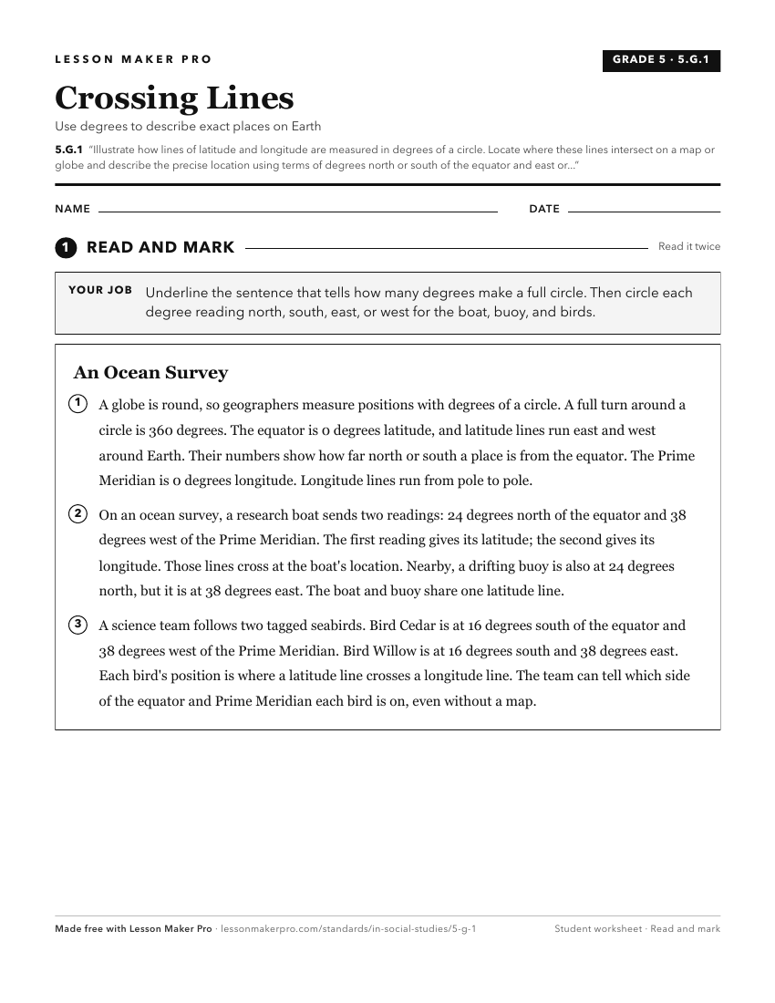
A ready-to-print activity worksheet aligned to 5.G.1, with an answer key for the teacher on its own page. No account needed.
PDF, US Letter, prints cleanly in black and white.
Download the worksheetKeep exploring
Related Standards
- 2.G.2
Locate the equator, the poles, continents, and hemispheres on a world map and on a globe; identify the local community, city, Indiana, the United States, and No...
- IS.3.1
Use latitude and longitude to identify physical and human features of Indiana understanding their locational importance relative to significant Earth features (...
- 3.G.4
Identify the northern, southern, eastern, and western hemispheres; cardinal and intermediate directions; and determine the direction and distance from one place...
- 1.G.2
Identify and describe continents, hemispheres, oceans, cities, and roads on maps and globes.
Turn this exact standard into a lesson
Grade, subject, topic, and the complete standard are prefilled. Create one free, no account needed.
Also for this standard:Make a WorksheetMake a QuizMake a Sub Lesson