Indiana Social Studies 4.G.4
The Standard
Explain how glaciers shaped Indiana’s landscape and environment.
2026 Indiana Academic Standards: K-12 Social Studies
Teacher's field guide
What This Standard Means
What Students Need to Do
- Students explain how moving ice scraped the land and carried rock and soil. They describe how melting glaciers left sediment, ridges, and lakes across much of Indiana.
What Mastery Looks Like
- Students use a map to show that glaciers covered northern and central Indiana, while much of the south stayed unglaciated. They explain how dropped sediment formed ridges and how buried ice formed some lakes when it melted.
Common Misconceptions
- Some students think glaciers covered all of Indiana. Others think melting ice alone flattened the land, missing how moving ice scraped the ground and left sediment behind.
How to Assess It
- Give students an Indiana map with the glacier boundary marked. Ask: “Why is much of northern Indiana flatter than the hills of southern Indiana? Name one thing the ice left behind.”
Lesson moves
Ways to Teach It
Push a block of ice across damp sand sprinkled with pebbles, then sketch the marks and pebble piles it leaves.
Compare photos of Lake Wawasee and a Brown County hill. Ask students to write how ice, or its absence, shaped each place.
Give pairs picture cards of advancing ice, dropped sediment, buried ice, and a kettle lake. Have them order the cards and explain why.
Use an Indiana soil map to find northern farm fields, then discuss how sediment left by glaciers helped form their soil.
Free download
Printable 4.G.4 Worksheet
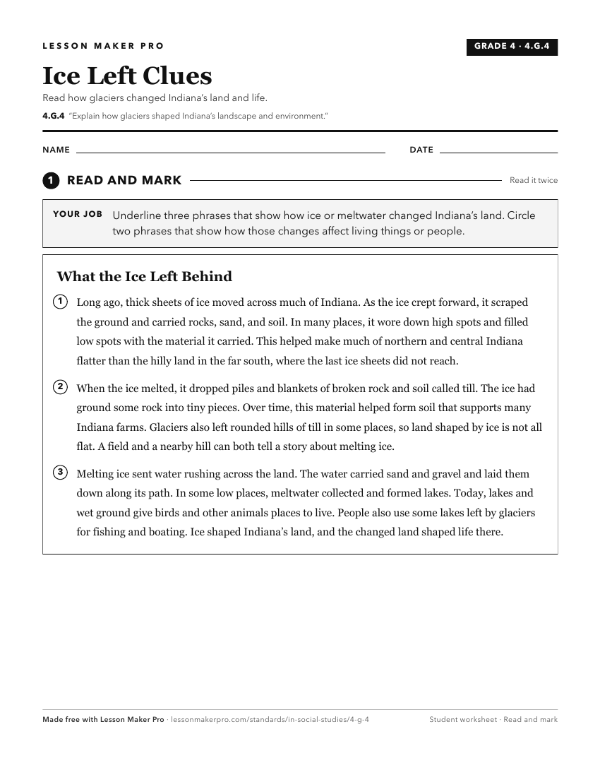
A ready-to-print activity worksheet aligned to 4.G.4, with an answer key for the teacher on its own page. No account needed.
PDF, US Letter, prints cleanly in black and white.
Download the worksheetKeep exploring
Related Standards
- IS.3.2
Map and describe the physical regions of Indiana and identify major natural resources and land use regions.
- 4.G.3
Map and describe the physical regions of Indiana and identify major natural resources and agricultural/crop regions.
- 4.G.5
Identify the challenges in the physical landscape of Indiana to early settlers and modern day economic development.
- IS.3.3
Explain how glaciers shaped Indiana’s landscape and the contribution that glaciers had in terms of geology, fertile soil, and accessible fresh water resources.
Turn this exact standard into a lesson
Grade, subject, topic, and the complete standard are prefilled. Create one free, no account needed.
Also for this standard:Make a WorksheetMake a QuizMake a Sub Lesson