Indiana Social Studies 4.G.5
The Standard
Identify the challenges in the physical landscape of Indiana to early settlers and modern day economic development.
2026 Indiana Academic Standards: K-12 Social Studies
Teacher's field guide
What This Standard Means
What Students Need to Do
- Students locate Indiana’s wetlands, rivers, and southern hills on a map. They explain how these features made settlement harder and how flooding or steep land can affect work and transportation today.
What Mastery Looks Like
- A student can point to a physical feature and name a problem it caused for settlers. They can also give a present-day example, such as a flooded road delaying deliveries.
Common Misconceptions
- Students may assume Indiana is flat everywhere or that settlers could travel easily along any river. They may also think draining a wetland ended all flood problems.
How to Assess It
- On an exit ticket, show a map marking the Ohio River and southern hills. Ask students to name one challenge each could cause for settlers or businesses.
Lesson moves
Ways to Teach It
Give pairs an Indiana relief map and yarn; have them trace a road through southern hills and mark where building it would be difficult.
Ask students to write: How could an Ohio River flood affect a settler’s farm and a store today?
Give groups feature cards labeled wetlands, rivers, and hills; have them match each to a settler problem and a present-day cost.
Compare a Brown County road map with a relief map; have students circle road bends near steep hills and explain the route.
Free download
Printable 4.G.5 Worksheet
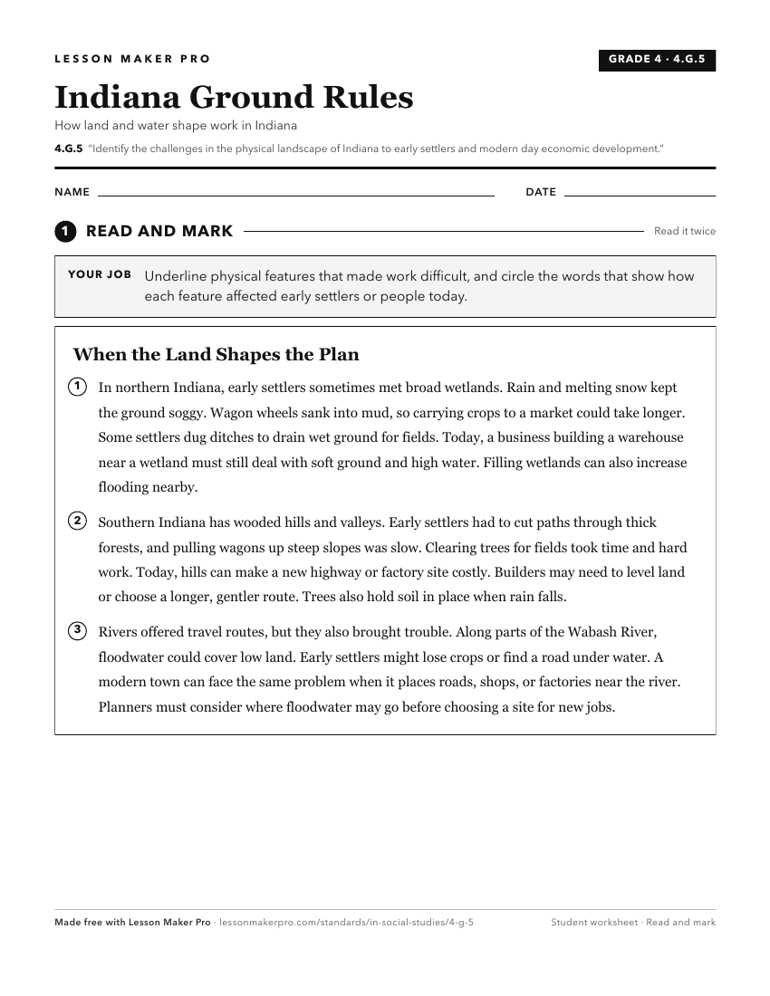
A ready-to-print activity worksheet aligned to 4.G.5, with an answer key for the teacher on its own page. No account needed.
PDF, US Letter, prints cleanly in black and white.
Download the worksheetKeep exploring
Related Standards
- 4.H.2
Identify and describe historic Native American groups that lived in Indiana at the time of early European exploration, including ways these groups adapted to an...
- IS.3.2
Map and describe the physical regions of Indiana and identify major natural resources and land use regions.
- IS.3.6
Identify immigration and migration patterns and describe their impact on the developments of agriculture, industry, mining, and transportation in Indiana.
- IS.3.4
Identify the challenges early settlers faced regarding the physical landscape of Indiana and understand landscape challenges citizens face today, and will face ...
Turn this exact standard into a lesson
Grade, subject, topic, and the complete standard are prefilled. Create one free, no account needed.
Also for this standard:Make a WorksheetMake a QuizMake a Sub Lesson