Indiana Social Studies 1.G.1
The Standard
Identify the cardinal directions (i.e., north, south, east, and west) on maps and globes and at the classroom or school.
2026 Indiana Academic Standards: K-12 Social Studies
Teacher's field guide
What This Standard Means
What Students Need to Do
- Students use a compass rose to name directions between places on a map. They find the poles and trace east or west on a globe. They point in those directions from a spot in the classroom.
What Mastery Looks Like
- A student uses the compass rose to find north, even when a map is turned sideways. They point toward each pole on a globe and point north, south, east, and west from their desk.
Common Misconceptions
- Students may think north is always at the top of the page. They may confuse east and west when they turn around or think north means straight ahead.
How to Assess It
- Give students a sideways map with a compass rose, a classroom in the middle, and a library one square north. Ask, "Which direction is the library? Now point north in our room."
Lesson moves
Ways to Teach It
Use a compass to label the classroom walls N, S, E, and W, then have students walk toward the wall you name.
Show a sideways map and ask, "Is north still at the top of the page? How can you tell?"
Play a pointing game: call out a direction, then have students point to the matching labeled wall.
At the school entrance, use a compass to point north and ask students what part of the school lies that way.
Free download
Printable 1.G.1 Worksheet
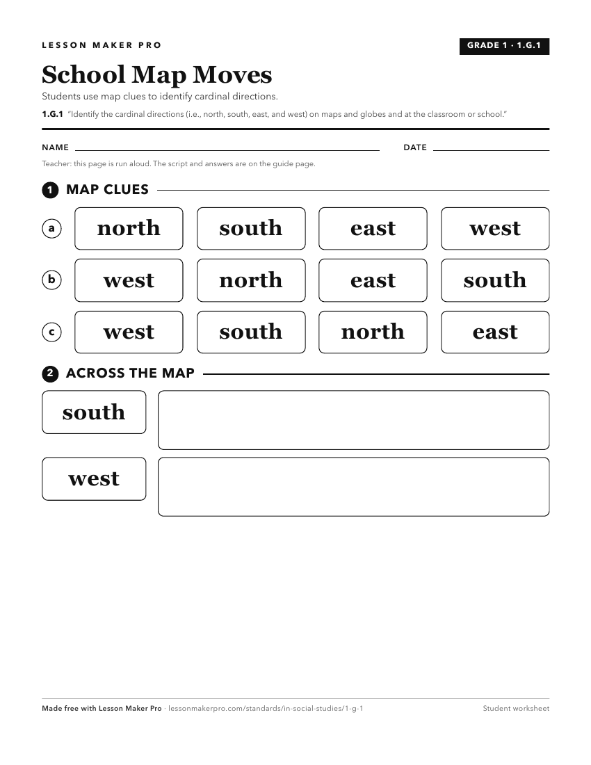
A ready-to-print activity worksheet aligned to 1.G.1, with an answer key for the teacher on its own page. No account needed.
PDF, US Letter, prints cleanly in black and white.
Download the worksheetKeep exploring
Related Standards
- 2.G.2
Locate the equator, the poles, continents, and hemispheres on a world map and on a globe; identify the local community, city, Indiana, the United States, and No...
- 3.G.4
Identify the northern, southern, eastern, and western hemispheres; cardinal and intermediate directions; and determine the direction and distance from one place...
- 2.G.1
Use a compass to identify cardinal and intermediate directions and locate places on maps and in the classroom, school, and community.
- 1.G.2
Identify and describe continents, hemispheres, oceans, cities, and roads on maps and globes.
Turn this exact standard into a lesson
Grade, subject, topic, and the complete standard are prefilled. Create one free, no account needed.
Also for this standard:Make a WorksheetMake a QuizMake a Sub Lesson