Georgia SS6G5.a
The Standard
- SS6G5
- Explain the impact of location, climate, distribution of natural resources, and population distribution on Canada.
Describe how Canada's location, climate, and natural resources impact trade and affect where people live.
Georgia Standards of Excellence for Social Studies · Explain the impact of location, climate, distribution of natural resources, and population distribution on Canada.
Teacher's field guide
What This Standard Means
What Students Need to Do
- Students use maps to connect Canadian settlement patterns with climate, resources, transportation routes, and nearby markets. They explain how these factors shape trade with the United States and other countries.
What Mastery Looks Like
- Students can explain why most Canadians live near the southern border and major waterways. They support their explanation with map evidence about climate, resources, ports, and access to markets.
Common Misconceptions
- Students may think all of Canada is frozen or that natural resources are spread evenly across the country. They may overlook how the United States border, rivers, and ocean ports support settlement and trade.
How to Assess It
- Give students a population map and a physical map of Canada. Ask: "Why do most Canadians live in the south, and how does that location support trade?"
Lesson moves
Ways to Teach It
Layer climate, resource, transportation, and population maps on transparent sheets, then mark places where two or more factors overlap.
Write a claim explaining why Toronto, Vancouver, or Montreal became a major population and trade center, using two geographic details.
Sort location, climate, resource, trade, and settlement cards into cause-and-effect chains, then compare chains with a partner.
Choose a Canadian site for a lumber, fishing, or oil business, then justify the choice using resources, transportation, workers, and markets.
Free download
Printable SS6G5.a Worksheet
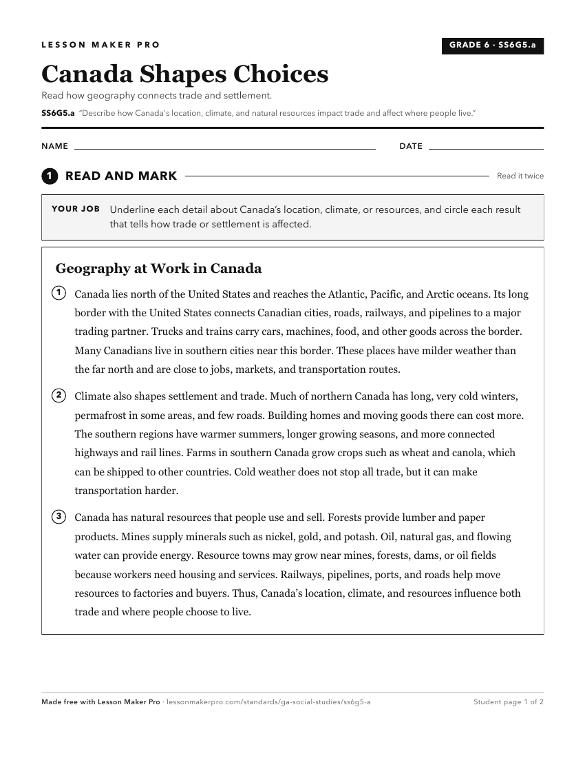
A ready-to-print activity worksheet aligned to SS6G5.a, with an answer key for the teacher on its own page. No account needed.
PDF, US Letter, prints cleanly in black and white.
Download the worksheetKeep exploring
Related Standards
- SS6G12.a
Describe how Australia's location, climate, and natural resources impact trade and affect where people live.
- SS6G5
Explain the impact of location, climate, distribution of natural resources, and population distribution on Canada.
- SS6G3.a
Explain how the location, climate, and distribution of natural resources impact trade and affect where people live in Mexico, Brazil, and Cuba.
- SS6G9.a
Compare how the location, climate, and natural resources of Germany, the United Kingdom and Russia impact trade and affect where people live.
Turn this exact standard into a lesson
Grade, subject, topic, and the complete standard are prefilled. Create one free, no account needed.
Also for this standard:Make a WorksheetMake a QuizMake a Sub Lesson