Georgia SS3G1.a
The Standard
- SS3G1
- Locate major topographical features on a physical map of the United States.
Locate major rivers of the United States of America: Mississippi, Ohio, Rio Grande, Colorado, Hudson, and St. Lawrence.
Georgia Standards of Excellence for Social Studies · Locate major topographical features on a physical map of the United States.
Teacher's field guide
What This Standard Means
What Students Need to Do
- Students find the Mississippi, Ohio, Rio Grande, Colorado, Hudson, and St. Lawrence rivers on a physical map. They use regions, states, and borders as clues.
What Mastery Looks Like
- Students correctly point to and label all six rivers on an unlabeled map. They can describe each location using terms such as Northeast, Southwest, or border.
Common Misconceptions
- Students may confuse the Mississippi River with the Missouri River or think the Ohio River is inside Ohio only. They may also place the Colorado River through central Colorado or overlook the St. Lawrence along the Canadian border.
How to Assess It
- Give students an unlabeled physical map and a list of the six rivers. Ask them to draw and label each river in its general location.
Lesson moves
Ways to Teach It
Lay blue yarn over a large United States map to mark each river, then attach name cards with removable tape.
Ask students to write two location clues for one river without naming it, then have classmates identify the river.
Run a map relay where teams take turns placing one river label correctly on an unlabeled wall map.
Use a digital map to find a city near each river and discuss how people might use the river there.
Free download
Printable SS3G1.a Worksheet
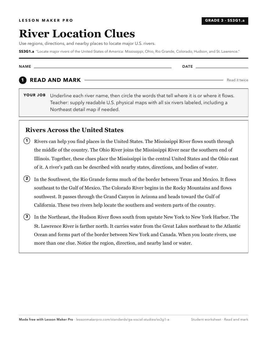
A ready-to-print activity worksheet aligned to SS3G1.a, with an answer key for the teacher on its own page. No account needed.
PDF, US Letter, prints cleanly in black and white.
Download the worksheetKeep exploring
Related Standards
- SS2G1.b
Locate on a physical map the major rivers: Savannah, Flint, and Chattahoochee.
- SS4G1.a
Locate major physical features of the United States: the Atlantic Coastal Plain, the Great Plains, the Continental Divide, the Gulf of Mexico, the Mississippi R...
- SS6G4.a
Locate on a world and regional political-physical map: the St. Lawrence River, Hudson Bay, Atlantic Ocean, Pacific Ocean, the Great Lakes, Canadian Shield, and ...
- SS4G1.b
Locate major man-made features of the United States: New York City, NY; Boston, MA; Philadelphia, PA; Washington, D.C.; Gettysburg, PA; and the Erie Canal.
Turn this exact standard into a lesson
Grade, subject, topic, and the complete standard are prefilled. Create one free, no account needed.
Also for this standard:Make a WorksheetMake a QuizMake a Sub Lesson