Georgia S6E4.e
The Standard
- S6E4
- Obtain, evaluate, and communicate information about how the sun, land, and water affect climate and weather.
Analyze and interpret weather data to explain the effects of moisture evaporating from the ocean on weather patterns and weather events such as hurricanes.
Georgia Standards of Excellence for Science · Obtain, evaluate, and communicate information about how the sun, land, and water affect climate and weather.
Teacher's field guide
What This Standard Means
What Students Need to Do
- Students read weather tables, graphs, and maps to find patterns among ocean temperature, humidity, rainfall, and storm strength. They use data to explain how ocean evaporation can add moisture and energy to weather systems.
What Mastery Looks Like
- A student can identify relevant trends and cite specific data points as evidence. The explanation links warmer surface water to greater evaporation, more available water vapor, heavier rain, and possible storm strengthening.
Common Misconceptions
- Students may think evaporation happens only when water boils or that hurricanes pull liquid water directly from the ocean. They may assume warm ocean water always creates a hurricane. They may also miss why storms often weaken over land.
How to Assess It
- Give students these data: 26°C, 65% humidity, 45 mph winds; 28°C, 75%, 65 mph; 30°C, 85%, 90 mph. Ask, “What pattern do you see, and how could ocean evaporation help explain it? Cite two data points.”
Lesson moves
Ways to Teach It
Cover equal cups of warm and cool water with plastic wrap, place them under a lamp, then compare condensation droplets after 20 minutes.
Ask students to write: Why might a hurricane strengthen over warm water but weaken after moving inland?
Run a card match where teams pair sea temperature, humidity, rainfall, and wind data with the best evidence-based weather claim.
Use a recent hurricane map to compare storm intensity with sea surface temperatures along its path.
Free download
Printable S6E4.e Worksheet
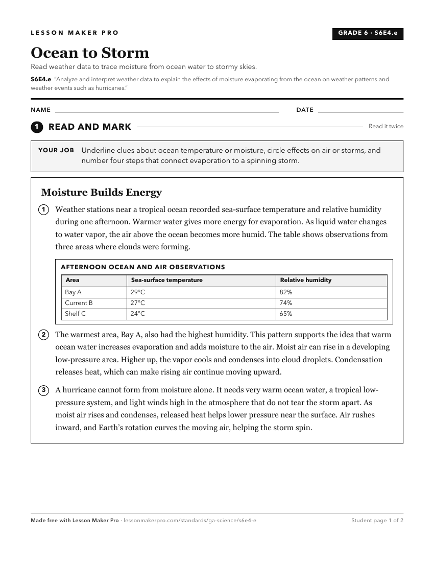
A ready-to-print activity worksheet aligned to S6E4.e, with an answer key for the teacher on its own page. No account needed.
PDF, US Letter, prints cleanly in black and white.
Download the worksheetKeep exploring
Related Standards
- S4E4
Obtain, evaluate, and communicate information to predict weather events and infer weather patterns using weather charts/maps and collected weather data.
- S6E4
Obtain, evaluate, and communicate information about how the sun, land, and water affect climate and weather.
- S6E3.d
Analyze and interpret data to create graphic representations of the causes and effects of waves, currents, and tides in Earth's systems.
- S1E1
Obtain, evaluate, and communicate weather data to identify weather patterns.
Turn this exact standard into a lesson
Grade, subject, topic, and the complete standard are prefilled. Create one free, no account needed.
Also for this standard:Make a WorksheetMake a QuizMake a Sub Lesson