Florida SS.8.A.1.2
The Standard
- SS.8.A.1
- Use research and inquiry skills to analyze American History using primary and secondary sources.
Analyze charts, graphs, maps, photographs, and timelines; analyze political cartoons; determine cause and effect.
Florida Next Generation Sunshine State Standards for Social Studies
Teacher's field guide
What This Standard Means
What Students Need to Do
- Students read visual sources for facts, patterns, point of view, and historical context. They use specific evidence to explain causes and effects in American history.
What Mastery Looks Like
- Students accurately interpret titles, labels, symbols, dates, scale, and captions. They explain a source's message and connect evidence to a clear cause-and-effect claim.
Common Misconceptions
- Students may describe what they see without explaining what it means. They may treat sequence as proof of causation, overlook bias in political cartoons, or ignore map keys and graph scales.
How to Assess It
- Give students a political cartoon and a timeline about the same event. Ask them to identify one cause, one effect, and two source details that support their answer.
Lesson moves
Ways to Teach It
Give pairs a map, photograph, graph, and timeline from one event, then have them sort evidence into causes, effects, and context.
Project a political cartoon and ask, "What opinion is the artist expressing, and which three details support your answer?"
Play Source Detective: teams identify each source type, infer its message, and earn a point for citing one specific visual detail.
Compare a current news infographic with a historical graph, then discuss how labels, scale, and image choice shape what readers conclude.
Free download
Printable SS.8.A.1.2 Worksheet
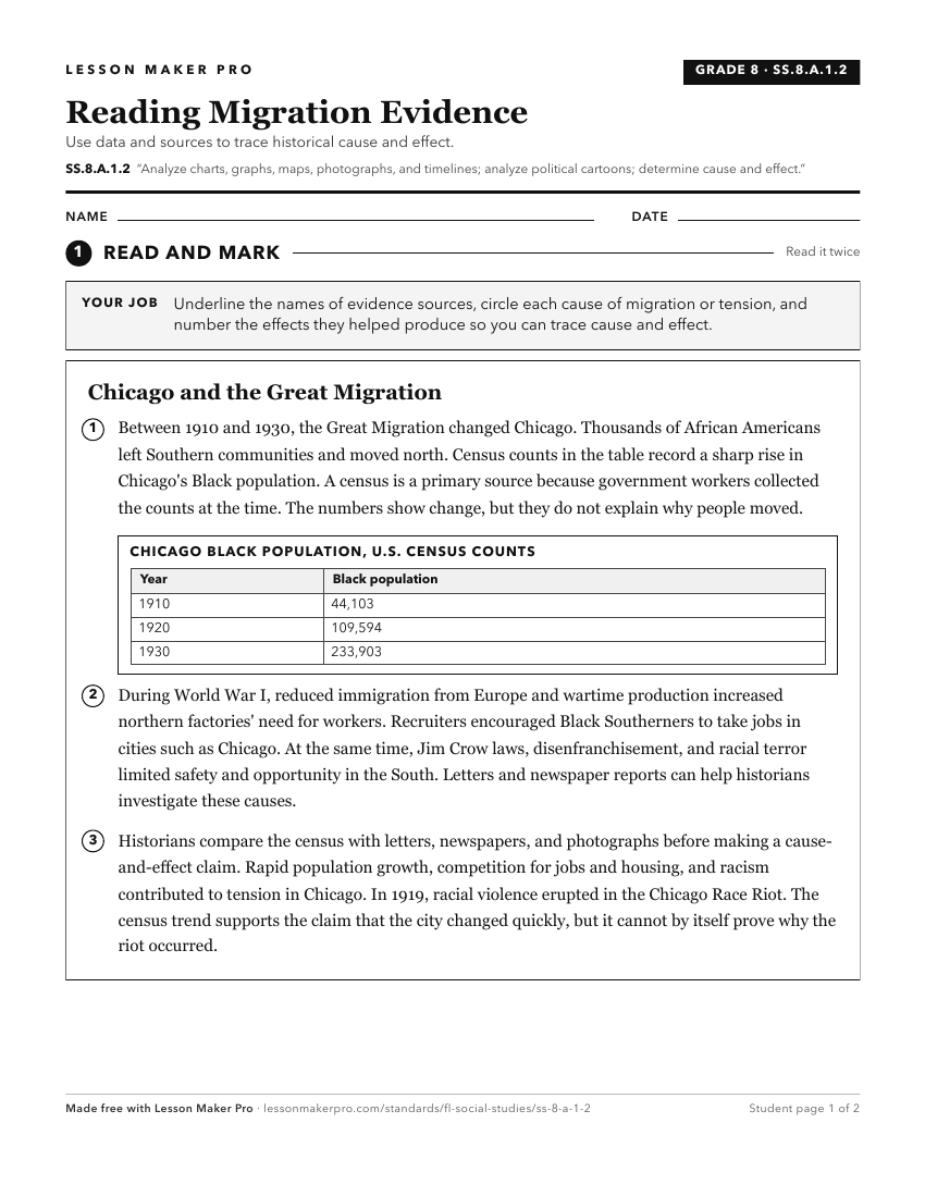
A ready-to-print activity worksheet aligned to SS.8.A.1.2, with an answer key for the teacher on its own page. No account needed.
PDF, US Letter, prints cleanly in black and white.
Download the worksheetKeep exploring
Related Standards
- SS.8.G.6.1
Use appropriate maps and other graphic representations to analyze geographic problems and changes over time throughout American history.
- SS.3.G.1.1
Use thematic maps, tables, charts, graphs, and photos to analyze geographic information.
- SS.4.G.1.4
Interpret political and physical maps using map elements (title, compass rose, cardinal directions, intermediate directions, symbols, legend, scale, longitude, ...
- SS.8.A.1.3
Analyze current events relevant to American History topics through a variety of electronic and print media resources.
Turn this exact standard into a lesson
Grade, subject, topic, and the complete standard are prefilled. Create one free, no account needed.
Also for this standard:Make a WorksheetMake a QuizMake a Sub Lesson