Florida SS.7.G.1.1
The Standard
- SS.7.G.1
- Understand how to use maps and other geographic representations, tools, and technology to report information.
Locate the fifty states and their capital cities in addition to the nation's capital on a map.
Florida Next Generation Sunshine State Standards for Social Studies
Teacher's field guide
What This Standard Means
What Students Need to Do
- Students identify each U.S. state by its location and shape. They match every state with its capital and locate Washington, D.C., separately.
What Mastery Looks Like
- Given an unlabeled map, students can label all 50 states, their capitals, and Washington, D.C. They distinguish state capitals from larger or better-known cities.
Common Misconceptions
- Students often name New York City, Los Angeles, or Miami instead of Albany, Sacramento, or Tallahassee. They may treat Washington, D.C., as a state or confuse Washington state with the national capital.
How to Assess It
- Give students a blank map with 10 numbered states. Ask them to name each state, write its capital, and mark Washington, D.C.
Lesson moves
Ways to Teach It
Give pairs a cutout state puzzle and capital cards, then have them assemble the country and place each capital card correctly.
Ask students why a state's largest city is not always its capital, using New York, California, and Florida as examples.
Play capital callout bingo, where students hear a capital and cover the matching state on a map board.
Have students plan a five-capital road trip, listing each capital, its state, and the route between stops.
Free download
Printable SS.7.G.1.1 Worksheet
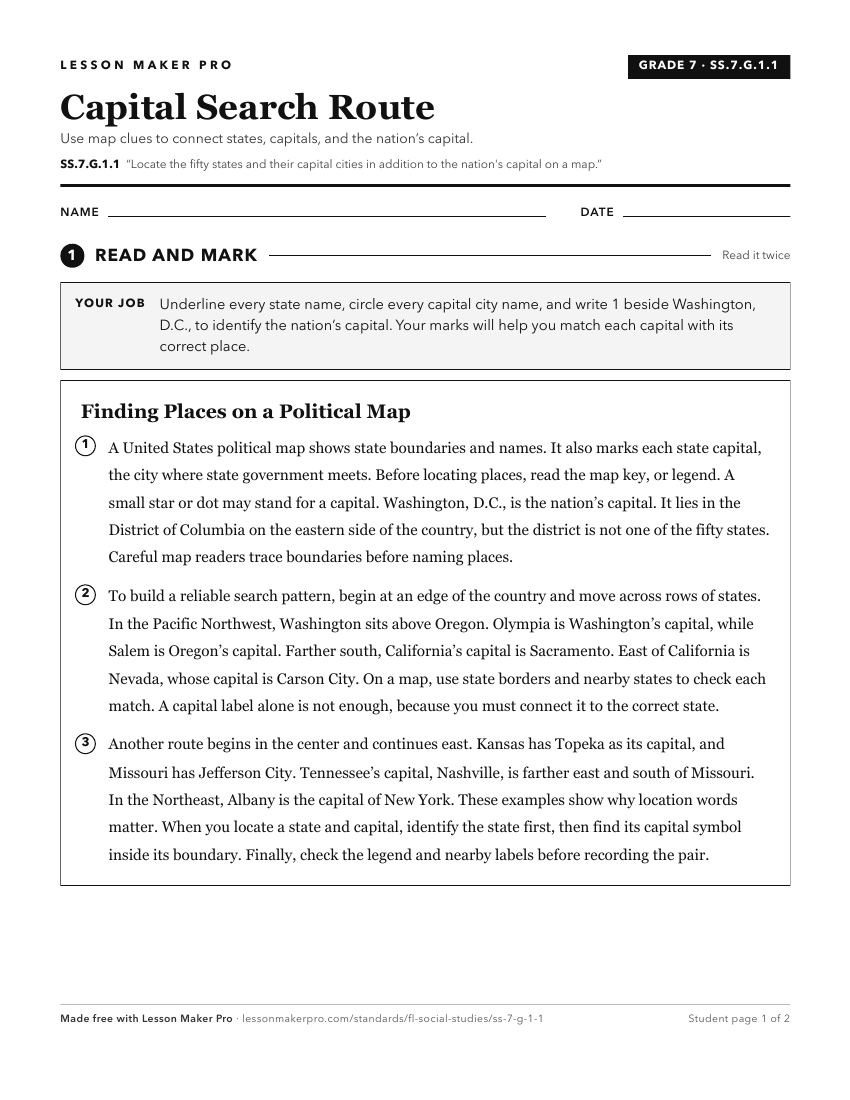
A ready-to-print activity worksheet aligned to SS.7.G.1.1, with an answer key for the teacher on its own page. No account needed.
PDF, US Letter, prints cleanly in black and white.
Download the worksheetKeep exploring
Related Standards
- SS.7.G.1.2
Locate on a world map the territories and protectorates of the United States of America.
- SS.2.G.1.2
Using maps and globes, locate the student’s hometown, Florida, North America, and both the state and national capitals.
- SS.5.G.1.6
Locate and identify states, capitals, and United States Territories on a map.
- SS.3.G.2.3
Label the states in each of the five regions of the United States.
Turn this exact standard into a lesson
Grade, subject, topic, and the complete standard are prefilled. Create one free, no account needed.
Also for this standard:Make a WorksheetMake a QuizMake a Sub Lesson