Florida SS.2.G.1.3
The Standard
- SS.2.G.1
- The World in Spatial Terms
Label on a map or globe the continents, oceans, Equator, Prime Meridian, North and South Poles.
Florida Next Generation Sunshine State Standards for Social Studies
Teacher's field guide
What This Standard Means
What Students Need to Do
- Students find the seven continents and five oceans on maps and globes. They also identify the Equator, Prime Meridian, North Pole, and South Pole.
What Mastery Looks Like
- Students independently place all labels in the correct locations on a blank world map. They can point to the same features on a globe without relying on color.
Common Misconceptions
- Students may confuse the Arctic Ocean with Antarctica or switch the Atlantic and Pacific Oceans. They may mix up the Equator and Prime Meridian or treat the poles as lines.
How to Assess It
- Give students a blank world map and a word bank. Ask them to label all continents, oceans, reference lines, and poles.
Lesson moves
Ways to Teach It
Have pairs place labeled sticky notes on the correct locations on a classroom globe.
Display a world map and ask, “How are the Equator and Prime Meridian different?”
Play a map relay where teams place continent, ocean, line, and pole cards on a large floor map.
Check food packages or clothing labels, locate each country of origin, then name its continent and nearest ocean.
Free download
Printable SS.2.G.1.3 Worksheet
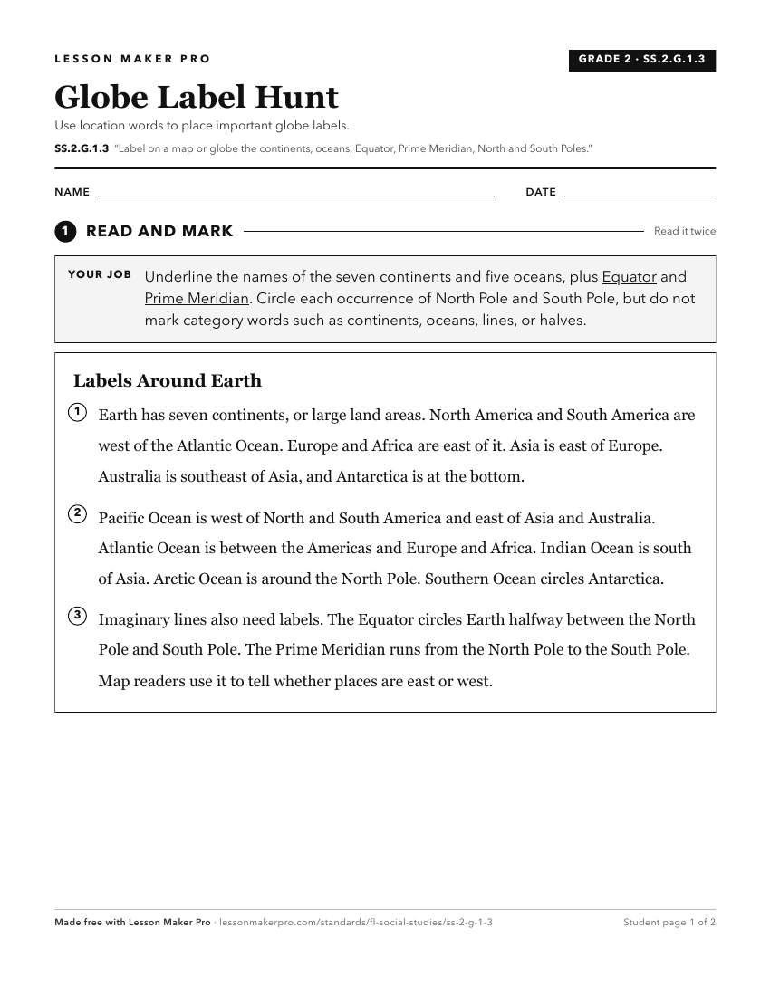
A ready-to-print activity worksheet aligned to SS.2.G.1.3, with an answer key for the teacher on its own page. No account needed.
PDF, US Letter, prints cleanly in black and white.
Download the worksheetKeep exploring
Related Standards
- SS.1.G.1.4
Identify a variety of physical features using a map and globe.
- SS.4.G.1.4
Interpret political and physical maps using map elements (title, compass rose, cardinal directions, intermediate directions, symbols, legend, scale, longitude, ...
- SS.3.G.1.3
Label the continents and oceans on a world map.
- SS.1.G.1.2
Identify key elements (i.e., compass rose, cardinal directions, title, key, or legend with symbols) of maps and globes.
Turn this exact standard into a lesson
Grade, subject, topic, and the complete standard are prefilled. Create one free, no account needed.
Also for this standard:Make a WorksheetMake a QuizMake a Sub Lesson