Florida SC.5.E.7.6
The Standard
Describe characteristics (temperature and precipitation) of different climate zones as they relate to latitude, elevation, and proximity to bodies of water.
Florida Next Generation Sunshine State Standards for Science
Teacher's field guide
What This Standard Means
What Students Need to Do
- Students read maps, graphs, and climate data to compare typical temperature and precipitation in tropical, temperate, and polar zones. They explain how latitude, elevation, and distance from large bodies of water help create those patterns.
What Mastery Looks Like
- Given location data, students predict whether a place will be warmer or cooler, wetter or drier, and have larger or smaller temperature swings. They support predictions with evidence about latitude, elevation, and nearby water rather than one day's weather.
Common Misconceptions
- Students often confuse daily weather with long-term climate. They may think places near the equator are always wet, or every city at the same latitude has the same climate. They may also think higher elevations are warmer because they are closer to the Sun.
How to Assess It
- Exit ticket: A is 10° N on a coast, B is 45° N inland, and C is 45° N inland at 2,000 meters. Rank them from warmest to coolest, predict which is likely wetter, and justify both answers.
Lesson moves
Ways to Teach It
Use a globe, yarn latitude bands, and city climate cards to sort locations by likely temperature and precipitation.
Ask: Why can two cities at the same latitude have different climates? Require evidence about elevation and nearby water.
Play Climate Detective: teams match location clue cards to temperature and precipitation graphs, then explain each match.
Compare monthly climate graphs for Miami, Denver, and Quito, then connect differences to latitude, elevation, and nearby water.
Free download
Printable SC.5.E.7.6 Worksheet
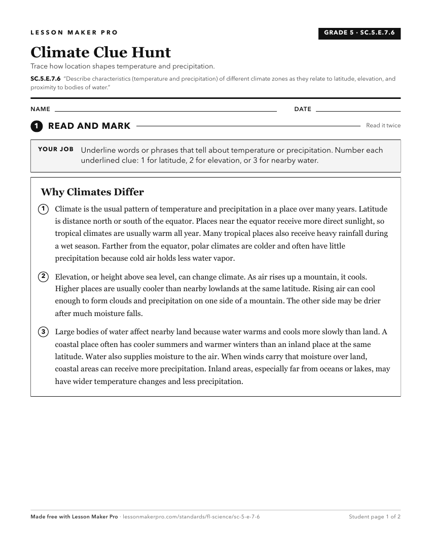
A ready-to-print activity worksheet aligned to SC.5.E.7.6, with an answer key for the teacher on its own page. No account needed.
PDF, US Letter, prints cleanly in black and white.
Download the worksheetKeep exploring
Related Standards
- SC.6.E.7.3
Describe how global patterns such as the jet stream and ocean currents influence local weather in measurable terms such as temperature, air pressure, wind direc...
- SC.5.E.7.4
Distinguish among the various forms of precipitation (rain, snow, sleet, and hail), making connections to the weather in a particular place and time.
- SC.5.E.7.5
Recognize that some of the weather-related differences, such as temperature and humidity, are found among different environments, such as swamps, deserts, and m...
- SC.5.E.7.3
Recognize how air temperature, barometric pressure, humidity, wind speed and direction, and precipitation determine the weather in a particular place and time.
Turn this exact standard into a lesson
Grade, subject, topic, and the complete standard are prefilled. Create one free, no account needed.
Also for this standard:Make a WorksheetMake a QuizMake a Sub Lesson