Alabama Social Studies SS24.3.1b
The Standard
- SS24.3.1
- Locate map features, using geographic terminology to describe them.
Locate points on a grid using latitude and longitude coordinates.
2024 Alabama Course of Study: Social Studies
Teacher's field guide
What This Standard Means
What Students Need to Do
- Students read a pair of map coordinates and follow each labeled line. They mark the spot where the lines meet.
What Mastery Looks Like
- A student can find 10° N and 20° E on a labeled grid and place a dot at their crossing. They keep north or south with latitude and east or west with longitude.
Common Misconceptions
- Students may switch the latitude and longitude numbers. Some mark a square between lines instead of the crossing, or ignore the N, S, E, and W labels.
How to Assess It
- Give students a grid labeled 0°, 10° N, 20° N and 0°, 10° E, 20° E. Ask them to mark 10° N, 20° E and circle the two lines they used.
Lesson moves
Ways to Teach It
Tape a labeled grid on the floor and have students place a sticky note at 10° N, 20° E.
Compare 20° N, 10° E with 10° N, 20° E on a grid. Ask students to write why the points differ.
Give pairs a labeled grid and coordinate cards. Have them take turns placing a counter at each matching crossing.
On a printed world map with city dots, find the labeled grid crossing nearest your state capital.
Free download
Printable SS24.3.1b Worksheet
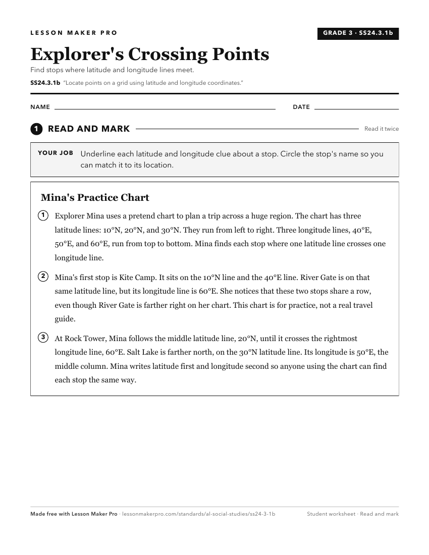
A ready-to-print activity worksheet aligned to SS24.3.1b, with an answer key for the teacher on its own page. No account needed.
PDF, US Letter, prints cleanly in black and white.
Download the worksheetKeep exploring
Related Standards
Turn this exact standard into a lesson
Grade, subject, topic, and the complete standard are prefilled. Create one free, no account needed.
Also for this standard:Make a WorksheetMake a QuizMake a Sub Lesson