Alabama Social Studies SS24.3.1c
The Standard
- SS24.3.1
- Locate map features, using geographic terminology to describe them.
Use the map scale to calculate the distance between two locations.
2024 Alabama Course of Study: Social Studies
Teacher's field guide
What This Standard Means
What Students Need to Do
- Students measure the space between two places on a map with a ruler. They use the map scale to turn that measurement into a real distance.
What Mastery Looks Like
- On a map where 1 inch represents 5 miles, a student measures a 3-inch gap and reports 15 miles. They can explain how they used the scale.
Common Misconceptions
- Students may report the ruler reading as the real distance, saying 3 inches instead of 15 miles. Others use the scale only once, no matter how many inches they measure.
How to Assess It
- Give students a map where 1 inch represents 5 miles and two towns are 3 inches apart. Ask, “How far apart are the towns? Show how you know.”
Lesson moves
Ways to Teach It
Give pairs a printed map scaled 1 inch = 5 miles; have them measure two marked towns with a ruler and write the distance.
Ask, “If 1 inch means 5 miles, why are two towns 2 inches apart on the map 10 miles apart?”
Give bingo cards labeled 5, 10, and 15 miles; call out 1-, 2-, or 3-inch gaps on a 1 inch = 5 miles map.
Use a local map and its scale to estimate the straight-line distance from school to the library before planning a field trip.
Free download
Printable SS24.3.1c Worksheet
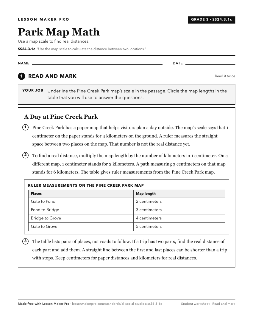
A ready-to-print activity worksheet aligned to SS24.3.1c, with an answer key for the teacher on its own page. No account needed.
PDF, US Letter, prints cleanly in black and white.
Download the worksheetKeep exploring
Related Standards
- SS24.7.1a
Explain and demonstrate the use of map essentials, including direction, distance, legend, latitude, longitude, map type, projection, scale, and symbols.
- SS24.2.10a
Utilize gridlines to find locations on a map.
- SS24.7.1c
Utilize maps to explain relationships among people and places, including governmental alliances, immigration patterns, and trade patterns.
- SS24.3.1
Locate map features, using geographic terminology to describe them.
Turn this exact standard into a lesson
Grade, subject, topic, and the complete standard are prefilled. Create one free, no account needed.
Also for this standard:Make a WorksheetMake a QuizMake a Sub Lesson