Alabama Social Studies SS24.1.8a
The Standard
- SS24.1.8
- Describe the features of political and physical maps.
Identify map features, including title, cardinal directions, and key.
2024 Alabama Course of Study: Social Studies
Teacher's field guide
What This Standard Means
What Students Need to Do
- Students find the title, direction labels, and key on a simple map. They use the title to name the place, the direction labels to tell which way to go, and the key to read symbols.
What Mastery Looks Like
- Given a new map, a student can point to its title and name what it shows. They can point north, south, east, and west and use the key to find a place marked by a symbol.
Common Misconceptions
- Students may think the top of every map is north, even when the direction labels show otherwise. They may treat pictures in the key as places on the map instead of clues to what the symbols mean.
How to Assess It
- Draw a map titled “Our Classroom” with N, S, E, and W marked and a key showing □ = desk. Ask students to circle the title, point north, and mark one desk using the key.
Lesson moves
Ways to Teach It
Build a desk map with blocks, then add a title card, direction labels, and a key for the block colors.
Show a playground map and ask, “What does the title tell us, and how does the key help us find the swings?”
Play map detective: give pairs a labeled map, then call out “Point east” or “Find the restroom symbol.”
On a hand-drawn school map, use the key to find the library and tell whether it is north or south of your classroom.
Free download
Printable SS24.1.8a Worksheet
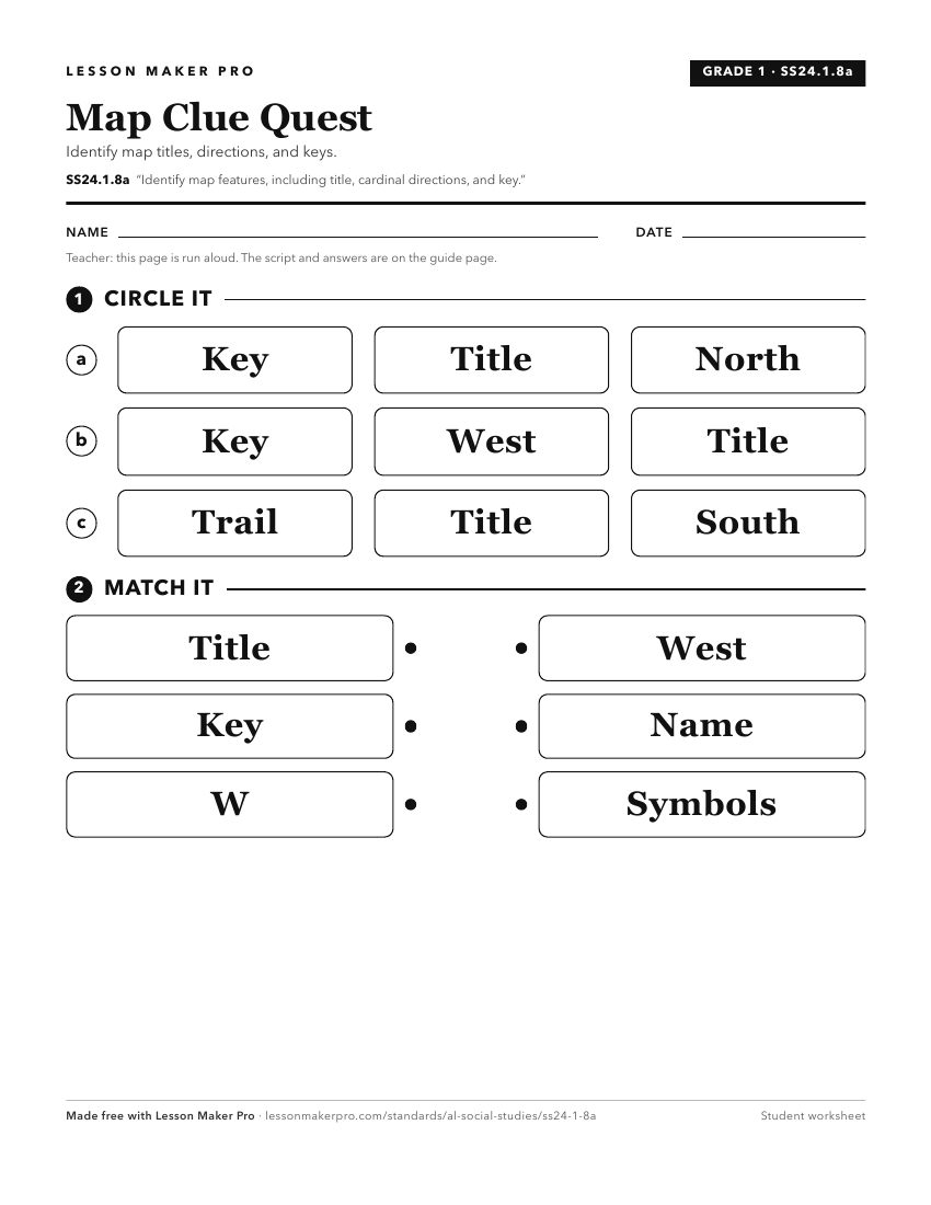
A ready-to-print activity worksheet aligned to SS24.1.8a, with an answer key for the teacher on its own page. No account needed.
PDF, US Letter, prints cleanly in black and white.
Download the worksheetKeep exploring
Related Standards
- SS24.K.8
Identify landforms and bodies of water on maps, globes, and satellite and digital images.
- SS24.7.1a
Explain and demonstrate the use of map essentials, including direction, distance, legend, latitude, longitude, map type, projection, scale, and symbols.
- SS24.2.10
Identify cardinal and intermediate directions.
- SS24.3.1
Locate map features, using geographic terminology to describe them.
Turn this exact standard into a lesson
Grade, subject, topic, and the complete standard are prefilled. Create one free, no account needed.
Also for this standard:Make a WorksheetMake a QuizMake a Sub Lesson