Alabama Social Studies SS24.1.8b
The Standard
- SS24.1.8
- Describe the features of political and physical maps.
Construct maps of familiar places.
2024 Alabama Course of Study: Social Studies
Teacher's field guide
What This Standard Means
What Students Need to Do
- Students draw a simple map of a place they know, such as their classroom. They show where things are from above and mark features so someone else can find them.
What Mastery Looks Like
- A student places the door, desks, and board in roughly the right spots. Another student can use the map to find those places in the room.
Common Misconceptions
- Some students draw the room as it looks from the doorway instead of from above. Others put objects in the wrong spots or leave out labels that would help someone read the map.
How to Assess It
- Ask students to draw our classroom from above and mark the door, their desk, and the board. Check whether each feature is easy to identify and in roughly the right spot.
Lesson moves
Ways to Teach It
Give students a room outline and paper squares for desks; have them place the squares where desks sit, then draw and label the door.
Ask, "If a new student starts at our door, how can your map help them find your desk?" Have partners explain their routes.
Students swap classroom maps and place a sticker where the board should be, then check its position in the room.
After walking to the cafeteria, students sketch the route from the classroom and mark the turns and landmarks they passed.
Free download
Printable SS24.1.8b Worksheet
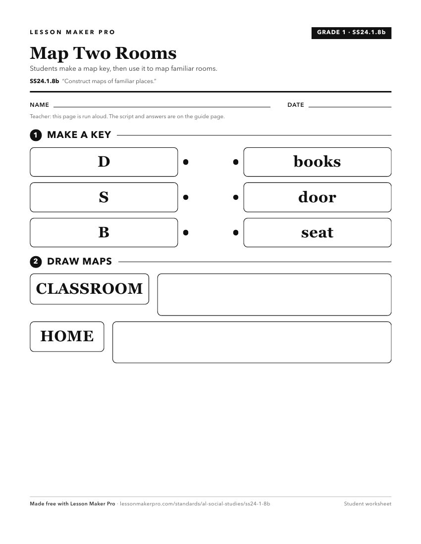
A ready-to-print activity worksheet aligned to SS24.1.8b, with an answer key for the teacher on its own page. No account needed.
PDF, US Letter, prints cleanly in black and white.
Download the worksheetKeep exploring
Related Standards
- SS24.1.8a
Identify map features, including title, cardinal directions, and key.
- SS24.K.8
Identify landforms and bodies of water on maps, globes, and satellite and digital images.
- SS24.7.1c
Utilize maps to explain relationships among people and places, including governmental alliances, immigration patterns, and trade patterns.
- SS24.3.1
Locate map features, using geographic terminology to describe them.
Turn this exact standard into a lesson
Grade, subject, topic, and the complete standard are prefilled. Create one free, no account needed.
Also for this standard:Make a WorksheetMake a QuizMake a Sub Lesson