Alabama Social Studies SS24.1.7
The Standard
Name and locate their local community, county, state, and state capital on a political map.
2024 Alabama Course of Study: Social Studies
Teacher's field guide
What This Standard Means
What Students Need to Do
- Students name their community and county and find both on a political map. They find Alabama and Montgomery and say that Montgomery is Alabama's capital.
What Mastery Looks Like
- Given a labeled map, a student points to and names their community, county, state, and state capital. They can show that their community is in their county and that their county is in Alabama.
Common Misconceptions
- Students may point to the whole county when asked to find their community. They may confuse a county line with the state line or think Montgomery is the name of a county.
How to Assess It
- Give each student a labeled Alabama county map that includes your community. Ask them to circle and name their community, outline and name their county, point to Alabama, and star and name Montgomery.
Lesson moves
Ways to Teach It
Give pairs a printed Alabama county map and four stickers to mark their community, county, state, and Montgomery.
Ask students to complete this sentence using the map: 'Our community is in ___ County in Alabama, and our state capital is ___.'
Play a map relay: call out 'community,' 'county,' 'state,' or 'capital,' and have pairs point to and name the place.
Use the school's mailing address and a postcard from Montgomery to mark the school, its county, and the capital on an Alabama map.
Free download
Printable SS24.1.7 Worksheet
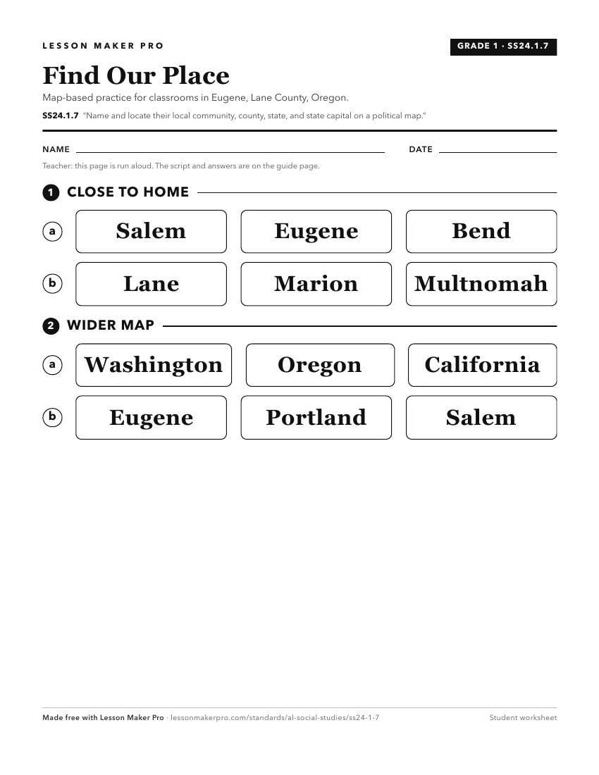
A ready-to-print activity worksheet aligned to SS24.1.7, with an answer key for the teacher on its own page. No account needed.
PDF, US Letter, prints cleanly in black and white.
Download the worksheetKeep exploring
Related Standards
- SS24.1.8a
Identify map features, including title, cardinal directions, and key.
- SS24.3.4
Locate and describe the significance of state and national symbols, landmarks, and monuments.
- SS24.1.2
Identify public offices in the community and state and the duties associated with them.
- SS24.7.1b
Use physical, political, and special-purpose maps to identify the distribution of people, location of places, and classification of physical features.
Turn this exact standard into a lesson
Grade, subject, topic, and the complete standard are prefilled. Create one free, no account needed.
Also for this standard:Make a WorksheetMake a QuizMake a Sub Lesson