Alabama Science ESS.8.a
The Standard
- ESS.8
- Obtain and communicate information to explain different climate regions and their impact on patterns of severe weather.
Analyze temperature and precipitation patterns related to factors that influence climate, including proximity to water, topography, elevation, latitude, and orographic effect.
2023 Alabama Course of Study: Science
Teacher's field guide
What This Standard Means
What Students Need to Do
- Students use maps and climate data to explain why places differ in temperature and rainfall. They look at latitude, elevation, nearby water, and mountains, including how mountains affect rainfall on each side.
What Mastery Looks Like
- Given a map and climate data, students can explain why higher elevations are usually cooler and why coastal places often have smaller temperature swings. They can identify the wetter windward side of a mountain and the drier leeward side.
Common Misconceptions
- Students may think higher places are warmer because they are closer to the Sun. They may assume both sides of a mountain get equal rain, or that coastal and inland places at the same latitude have the same temperatures.
How to Assess It
- Draw a mountain with the ocean to its west, wind blowing east, and a town at the same elevation on each slope. Ask students which town gets more rain and why.
Lesson moves
Ways to Teach It
Place thermometers in cups of sand and water under a lamp, then record each temperature every two minutes.
Show temperature graphs for a coastal and an inland city at the same latitude; ask, “Why do their yearly temperature ranges differ?”
Give pairs a mountain diagram with wind arrows; have them label the wetter and drier slopes, then compare answers.
Compare Seattle and Spokane rainfall charts; ask students how the Cascade Mountains affect rainfall in each city.
Free download
Printable ESS.8.a Worksheet
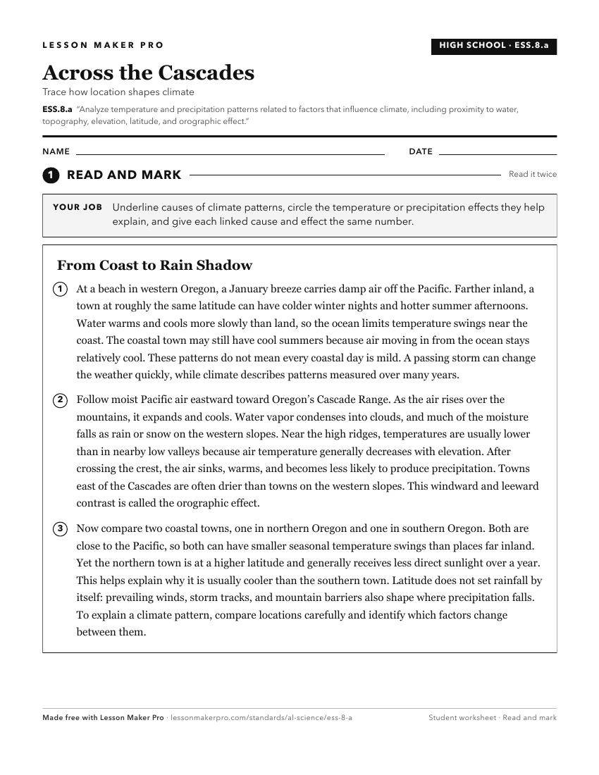
A ready-to-print activity worksheet aligned to ESS.8.a, with an answer key for the teacher on its own page. No account needed.
PDF, US Letter, prints cleanly in black and white.
Download the worksheetKeep exploring
Related Standards
- 6.10
Use observations and data from investigations to demonstrate how the sun, air, land, and water affect Earth’s climate.
- 6.10.c
Construct an explanation of how altitude, geothermal activity, and oceanic distribution of heat produce typical regional climate patterns.
- ESS.8.b
Analyze and interpret data to develop predictions about the formation of meteorological events.
- ESS.8
Obtain and communicate information to explain different climate regions and their impact on patterns of severe weather.
Turn this exact standard into a lesson
Grade, subject, topic, and the complete standard are prefilled. Create one free, no account needed.
Also for this standard:Make a WorksheetMake a QuizMake a Sub Lesson