Alabama Science ESS.5.d
The Standard
- ESS.5
- Obtain, evaluate, and communicate information about major events in Earth’s history.
Obtain, evaluate, and communicate information about important tectonic and geologic events that have occurred in Alabama over geologic time.
2023 Alabama Course of Study: Science · Earth’s Systems
Teacher's field guide
What This Standard Means
What Students Need to Do
- Students use Alabama rock maps and fossil records to identify past mountain building, coal swamps, and shallow seas. They compare evidence, place events in geologic time, and explain what caused each change.
What Mastery Looks Like
- Students link folded Appalachian rocks to continental collision, coal beds to buried swamps, and Black Belt chalk to an ancient sea. They support each claim with a map, rock layer, or fossil.
Common Misconceptions
- Students may think Alabama has always had its present coastline, so marine fossils found inland seem out of place. They may mistake mountain building for a single earthquake or assume all exposed rocks formed at the same time.
How to Assess It
- Exit ticket: An inland Alabama chalk layer contains marine fossils; choose shallow sea or desert, cite the fossils as evidence, and name a change that left the chalk on land.
Lesson moves
Ways to Teach It
Color a printed Alabama geologic map to mark Appalachian rocks, coal fields, and Black Belt chalk, then label the event each records.
Ask: Which better supports an ancient sea in Alabama, chalk with marine fossils or folded Appalachian rock? Defend your answer.
Match event cards for continental collision, swamp burial, and shallow seas to folded rocks, coal beds, and marine fossils.
Find your county’s bedrock on an Alabama geologic map, then explain why road crews planning a roadcut need to know its rock type.
Free download
Printable ESS.5.d Worksheet
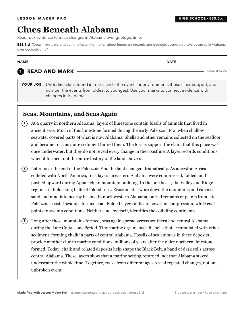
A ready-to-print activity worksheet aligned to ESS.5.d, with an answer key for the teacher on its own page. No account needed.
PDF, US Letter, prints cleanly in black and white.
Download the worksheetKeep exploring
Related Standards
- ESS.4.e
Obtain and communicate information about significant geologic characteristics in Alabama and the southeastern United States.
- ESS.5
Obtain, evaluate, and communicate information about major events in Earth’s history.
- ESS.6.d
Analyze data to interpret seismic activity and assess the risk of volcanic eruptions and earthquakes in Alabama and other areas in the United States.
- ESS.4
Obtain, evaluate, and communicate information about the geologic conditions and processes that form different Earth materials.
Turn this exact standard into a lesson
Grade, subject, topic, and the complete standard are prefilled. Create one free, no account needed.
Also for this standard:Make a WorksheetMake a QuizMake a Sub Lesson