Alabama Science ESS.4.e
The Standard
- ESS.4
- Obtain, evaluate, and communicate information about the geologic conditions and processes that form different Earth materials.
Obtain and communicate information about significant geologic characteristics in Alabama and the southeastern United States.
2023 Alabama Course of Study: Science · Earth’s Systems
Teacher's field guide
What This Standard Means
What Students Need to Do
- Students use maps and reliable sources to locate major geologic regions in Alabama and nearby states. They describe the rocks and landforms in each region and explain how they formed.
What Mastery Looks Like
- A student can locate Alabama's Appalachian ridges and Gulf Coastal Plain, then trace both into neighboring states. They use a map key and a cited source to explain differences in rock and landform.
Common Misconceptions
- Students may think the Appalachians stop before Alabama or that the Coastal Plain covers the whole state. They may read colors on a geologic map as elevation instead of rock type or age.
How to Assess It
- Give students a southeastern U.S. geologic map and a blank Alabama outline. Ask them to mark the Appalachian ridges and Coastal Plain, name one rock or sediment shown in each, and point to the map-key evidence.
Lesson moves
Ways to Teach It
Print a southeastern geologic map and state outlines; students use colored pencils to trace the Appalachian ridges and Gulf Coastal Plain into Alabama.
Show photos of northeast Alabama ridges and Mobile Bay; ask students what evidence suggests these places have different geologic histories.
Pairs match Valley and Ridge, Piedmont, and Coastal Plain cards with folded sedimentary rock, metamorphic rock, and young sediment clues, then check a map.
Show a Birmingham road cut photo and a Mobile Bay shoreline photo; students explain how exposed rock and coastal sediment affect each site.
Free download
Printable ESS.4.e Worksheet
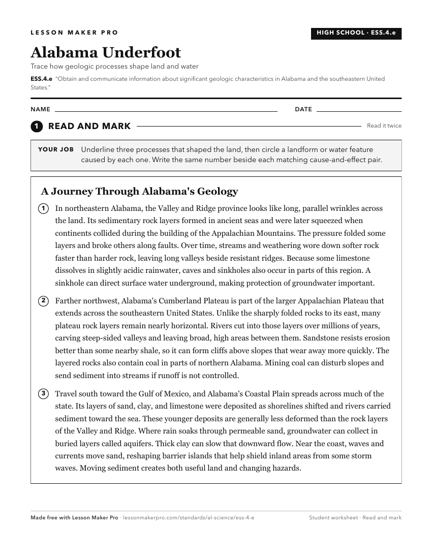
A ready-to-print activity worksheet aligned to ESS.4.e, with an answer key for the teacher on its own page. No account needed.
PDF, US Letter, prints cleanly in black and white.
Download the worksheetKeep exploring
Related Standards
- ESS.5.d
Obtain, evaluate, and communicate information about important tectonic and geologic events that have occurred in Alabama over geologic time.
- ESS.6.d
Analyze data to interpret seismic activity and assess the risk of volcanic eruptions and earthquakes in Alabama and other areas in the United States.
- ES.3.b
Analyze and interpret data collected through geographic research and field investigations to describe Alabama’s biodiversity by region.
- BIO.9
Obtain, evaluate, and communicate data to explain how the biodiversity of Alabama contributes to ecosystem services in the state.
Turn this exact standard into a lesson
Grade, subject, topic, and the complete standard are prefilled. Create one free, no account needed.
Also for this standard:Make a WorksheetMake a QuizMake a Sub Lesson