Alabama Science 6.9.b
The Standard
- 6.9
- Use data analysis to monitor and predict weather changes and the impact of weather events, including severe weather.
Construct an explanation of how air pressure, weather fronts, and air masses are related to weather events.
2023 Alabama Course of Study: Science
Teacher's field guide
What This Standard Means
What Students Need to Do
- Students use a weather map to locate air masses, fronts, and high and low pressure. They explain how moving air masses meet at a front and why clouds, rain, or a temperature change may follow.
What Mastery Looks Like
- A student can point to a front and name the air masses on each side. They can explain that air moves from higher toward lower pressure, and that warm, moist air rising along a front may form clouds and rain.
Common Misconceptions
- Students may think a front is the storm itself, rather than the boundary between air masses. They may also think every front brings rain or that high pressure means high temperature.
How to Assess It
- Show a map with high pressure behind a cold front and low pressure ahead, where warm, humid air is present. Ask: “Why might clouds or rain form near the front?”
Lesson moves
Ways to Teach It
Give pairs red and blue index cards for air masses and cotton balls for clouds; have them model a cold front on a desk.
Ask: “When cold air meets warm, humid air, what happens to the warm air, and why might clouds form?”
Give pairs four weather-map cards; have them mark fronts and draw arrows showing air moving from higher toward lower pressure.
Check tomorrow’s local forecast map, circle a nearby front or pressure center, and write one weather change it may bring.
Free download
Printable 6.9.b Worksheet
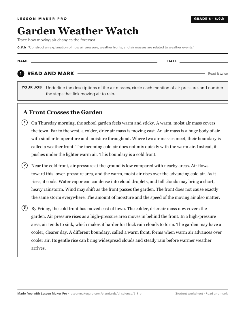
A ready-to-print activity worksheet aligned to 6.9.b, with an answer key for the teacher on its own page. No account needed.
PDF, US Letter, prints cleanly in black and white.
Download the worksheetKeep exploring
Related Standards
- ESS.7.c
Construct an explanation of how air masses, source regions, fronts, weather changes associated with frontal passage (including cold, warm, occluded, and station...
- ESS.7.d
Use data to construct an explanation of the role of pressure differences in the development of wind systems.
- 6.10.c
Construct an explanation of how altitude, geothermal activity, and oceanic distribution of heat produce typical regional climate patterns.
- ESS.7.e
Analyze and interpret data to create a surface map, including high-pressure and low-pressure systems, isobars, wind barbs, cloud types, precipitation, and front...
Turn this exact standard into a lesson
Grade, subject, topic, and the complete standard are prefilled. Create one free, no account needed.
Also for this standard:Make a WorksheetMake a QuizMake a Sub Lesson