Virginia SOL WG.3.a
The Standard
- WG.3
- The student will analyze the characteristics of the regions of the United States and Canada by
identifying and analyzing the location of major geographic regions and major cities on maps and globes
Virginia Standards of Learning for History and Social Science · The student will analyze the characteristics of the regions of the United States and Canada by
Teacher's field guide
What This Standard Means
What Students Need to Do
- Students locate major U.S. and Canadian regions and cities on political maps, physical maps, globes, and digital maps. They describe relative location and identify patterns near coasts, waterways, borders, and transportation routes.
What Mastery Looks Like
- Given an unlabeled map, a student accurately places the assigned regions and cities. The student uses direction, borders, distance, and physical features to explain how locations relate.
Common Misconceptions
- Students often treat geographic regions as states or provinces with fixed political borders. They may reverse east and west, misplace Canadian cities, or identify a city’s province but not its larger region.
How to Assess It
- Give students a blank map, six regions from the unit, and the cities New York, Chicago, Los Angeles, Toronto, Montreal, and Vancouver. Have them label each and write two relative-location statements.
Lesson moves
Ways to Teach It
Give pairs a laminated blank map, region cards, and city dots to place, then check locations with an atlas.
Ask students why major cities developed near coasts, rivers, lakes, or transportation routes, using one map detail as evidence.
Play map relay: teams draw a city card, point to its location, name its region, and describe one relative location.
Plan a train trip from Toronto to Miami, marking crossed regions and naming major cities along the route.
Free download
Printable WG.3.a Worksheet
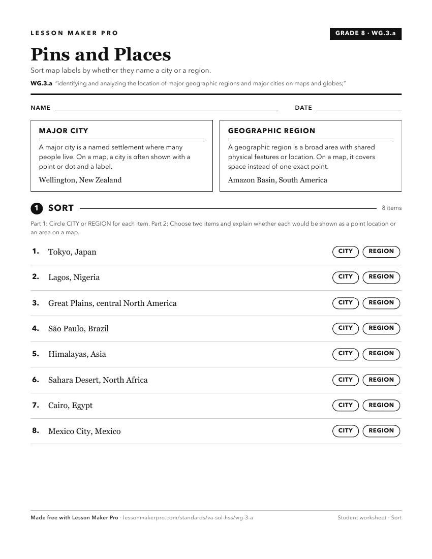
A ready-to-print activity worksheet aligned to WG.3.a, with an answer key for the teacher on its own page. No account needed.
PDF, US Letter, prints cleanly in black and white.
Download the worksheetKeep exploring
Related Standards
Turn this exact standard into a lesson
Grade, subject, topic, and the complete standard are prefilled. Create one free, no account needed.
Also for this standard:Make a WorksheetMake a QuizMake a Sub Lesson