Virginia SOL 3.3.d
The Standard
- 3.3
- The student will apply history and social science skills to describe major geographic features of ancient societies on a world map by
connecting geography to major historical events.
Virginia Standards of Learning for History and Social Science
Teacher's field guide
What This Standard Means
What Students Need to Do
- Students locate a historical event on a map and identify nearby landforms, water, climate, or distance. They explain how one of those features affected travel, settlement, resources, or the event’s outcome.
What Mastery Looks Like
- A student points to accurate map evidence and connects it to what happened. The explanation uses clear cause and effect, such as a river making travel or trade easier.
Common Misconceptions
- Students may name a place without explaining why its location mattered. They may confuse landforms and bodies of water, or assume geography always caused an event by itself.
How to Assess It
- Give students a map of an event studied. Ask, “Name one geographic feature and explain how it affected where people traveled, settled, or acted.”
Lesson moves
Ways to Teach It
Give pairs a map, yarn, and event cards, then have them trace routes and label how rivers, mountains, or distance shaped each event.
Ask, “How did the land or water affect what happened?” Students answer with one map detail and one event detail.
Play Geography Cause Match by pairing feature cards with event effects, then having students explain each match to keep the pair.
Use a local river or road map and ask students how that feature could affect travel, settlement, trade, or a community event.
Free download
Printable 3.3.d Worksheet
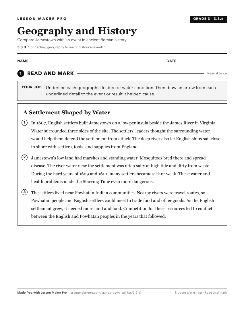
A ready-to-print activity worksheet aligned to 3.3.d, with an answer key for the teacher on its own page. No account needed.
PDF, US Letter, prints cleanly in black and white.
Download the worksheetKeep exploring
Related Standards
- 2.12
The student will apply history and social science skills to connect geography to landmarks and historic events including, but not limited to
- 1.7
The student will apply history and social science skills to connect geography to historic events of Virginia and the United States by
- K.5.b
identifying historic events
- WG.9.a
identifying and analyzing the location of major geographic regions and major cities on maps and globes
Turn this exact standard into a lesson
Grade, subject, topic, and the complete standard are prefilled. Create one free, no account needed.
Also for this standard:Make a WorksheetMake a QuizMake a Sub Lesson