Texas TEKS 8.11.A
The Standard
- 8.11
- Geography. The student understands the physical characteristics of North America and how humans adapted to and modified the environment through the mid-19th century. The student is expected to:
analyze how physical characteristics of the environment influenced population distribution, settlement patterns, and economic activities in the United States
Texas Essential Knowledge and Skills for Social Studies
Teacher's field guide
What This Standard Means
What Students Need to Do
- Students explain how rivers, landforms, climate, soil, and natural resources affected where people lived and worked. They support cause-and-effect claims with evidence from maps and historical examples.
What Mastery Looks Like
- Students can compare two regions and explain why their settlement patterns and economies differed. They cite specific features, such as fertile soil, harbors, mountains, or mineral deposits.
Common Misconceptions
- Students may assume people settled only near water or that physical geography completely determined human choices. They may describe where features are without explaining how those features affected settlement or work.
How to Assess It
- Give students a physical map and population map of the United States. Ask: "Identify one pattern and explain how a physical feature helped cause it."
Lesson moves
Ways to Teach It
Layer transparent physical, resource, and population maps, then mark three places where the patterns overlap and explain each connection.
Write a claim explaining why major cities developed near rivers, harbors, or resource deposits, using two named examples.
Play a settlement site game where teams choose among mapped locations and defend their choice using land, water, climate, and resources.
Compare a local town's location with nearby roads, water, landforms, and industries, then explain which physical features shaped its growth.
Free download
Printable 8.11.A Worksheet
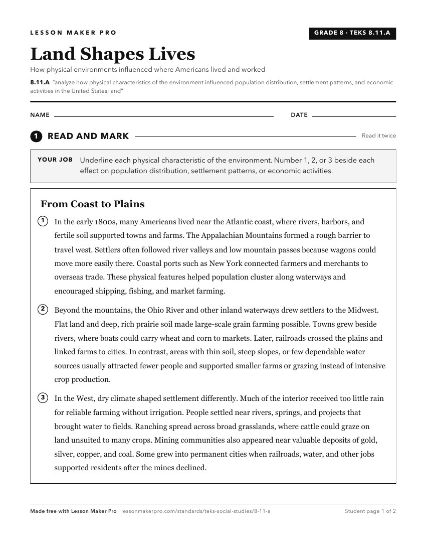
A ready-to-print activity worksheet aligned to 8.11.A, with an answer key for the teacher on its own page. No account needed.
PDF, US Letter, prints cleanly in black and white.
Download the worksheetKeep exploring
Related Standards
- 5.12.C
analyze the effects of immigration and migration on the economic development and growth of the United States
- 8.10.C
analyze the effects of physical and human geographic factors such as weather, landforms, waterways, transportation, and communication on major historical events...
- 5.7.B
explain the geographic factors that influence patterns of settlement and the distribution of population in the United States
- 5.12.B
identify and explain how geographic factors have influenced the location of economic activities in the United States
Turn this exact standard into a lesson
Grade, subject, topic, and the complete standard are prefilled. Create one free, no account needed.
Also for this standard:Make a WorksheetMake a QuizMake a Sub Lesson