Texas TEKS 5.7.A
The Standard
- 5.7
- Geography. The student understands the location and patterns of settlement and the geographic factors that influence where people live. The student is expected to:
identify and describe the patterns of settlement such as rural, urban, and suburban
Texas Essential Knowledge and Skills for Social Studies
Teacher's field guide
What This Standard Means
What Students Need to Do
- Students use maps, photos, and population clues to classify communities as rural, suburban, or urban. They describe how buildings, land use, roads, and population density shape each pattern.
What Mastery Looks Like
- Students correctly classify an unfamiliar community and cite at least two visible clues. They can compare two community types using specific geographic features.
Common Misconceptions
- Students may assume any place with houses is suburban or any place with farms is rural. They may confuse population size with population density.
How to Assess It
- Show three community photos. Ask students to label each one and write two pieces of evidence for each label.
Lesson moves
Ways to Teach It
Give groups community photo cards to sort into rural, suburban, and urban sets, then label the evidence they used.
Ask students to write which community type best fits their area and support the claim with three observable details.
Play a clue-card game where teams identify the community type from details about roads, buildings, land use, and population density.
Use an online map to compare downtown, an outer neighborhood, and nearby farmland, then record how settlement patterns change.
Free download
Printable 5.7.A Worksheet
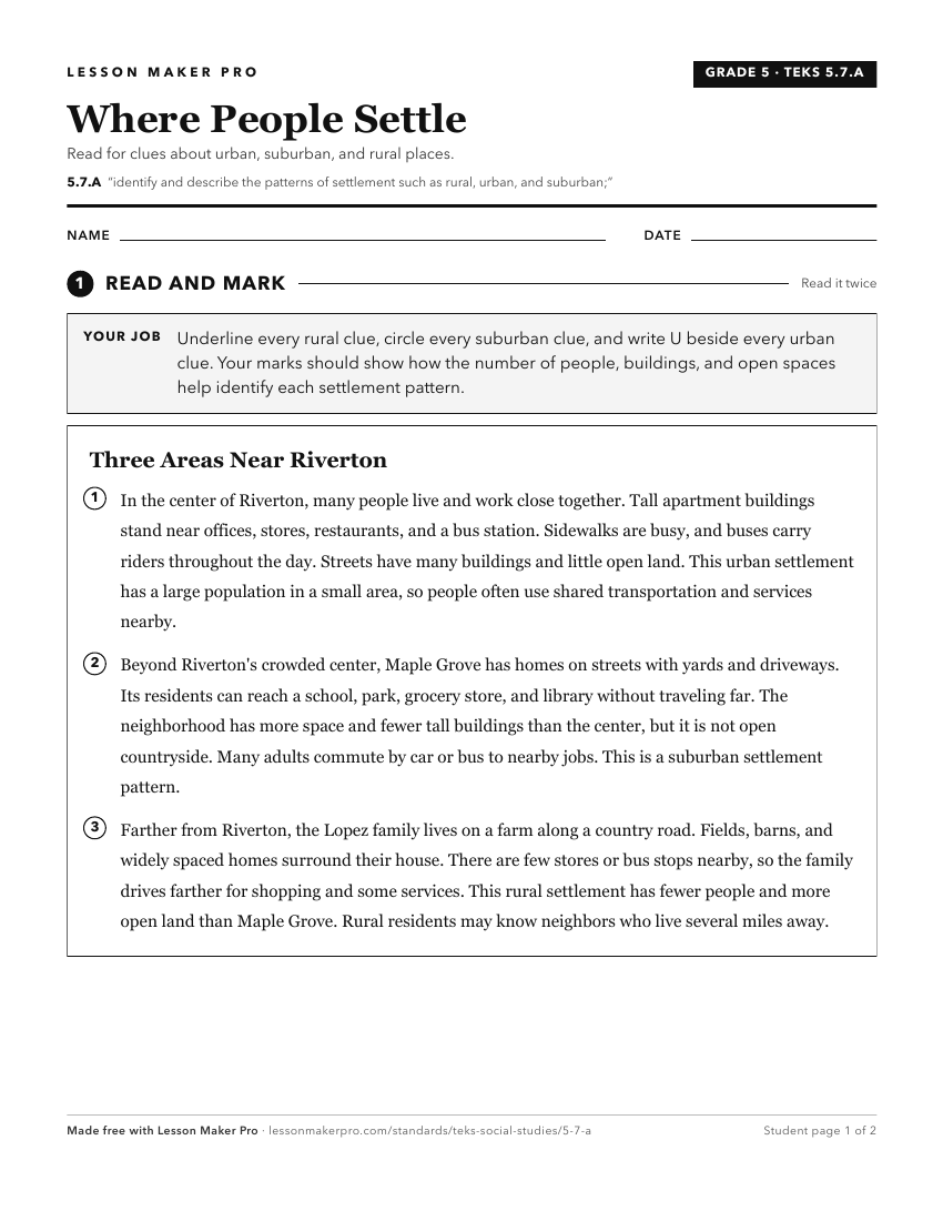
A ready-to-print activity worksheet aligned to 5.7.A, with an answer key for the teacher on its own page. No account needed.
PDF, US Letter, prints cleanly in black and white.
Download the worksheetKeep exploring
Related Standards
- 4.7.B
identify and explain patterns of settlement such as the location of towns and cities in Texas at different time periods.
- 5.7
Geography. The student understands the location and patterns of settlement and the geographic factors that influence where people live. The student is expected ...
- 5.7.B
explain the geographic factors that influence patterns of settlement and the distribution of population in the United States
- 4.7
Geography. The student understands the location and patterns of settlement and the geographic factors that influence where people live. The student is expected ...
Turn this exact standard into a lesson
Grade, subject, topic, and the complete standard are prefilled. Create one free, no account needed.
Also for this standard:Make a WorksheetMake a QuizMake a Sub Lesson