Oklahoma Social Studies WG.C.4.1
The Standard
- WG.C.4
- Explain the political organization of space.
Analyze the nature and meaning of territorial boundaries and their influence on identity, interaction, and exchange.
Oklahoma Academic Standards for Social Studies (2026) · WG.C.4
Teacher's field guide
What This Standard Means
What Students Need to Do
- Students find territorial borders on a map and explain what they separate. They use examples of citizenship, family visits, and trade to show how borders shape belonging and movement.
What Mastery Looks Like
- A student can use a map to explain why El Paso and Ciudad Juárez share cultural ties but follow different laws. They can explain how crossing rules affect a family visit and a produce shipment.
Common Misconceptions
- Students may think every border is a fence or a natural feature like a river. They may assume people on opposite sides have different cultures and never visit or trade with each other.
How to Assess It
- Show a map of El Paso and Ciudad Juárez. Ask: How could the border affect a family visit and a food shipment, even if people on both sides share customs?
Lesson moves
Ways to Teach It
On a printed map, mark El Paso and Ciudad Juárez, then draw routes for a family visit and a produce truck.
Ask: How might teenagers in El Paso and Ciudad Juárez share customs but face different rules when traveling?
Give pairs cards showing citizenship papers, a family visit, and a produce shipment to sort under identity, interaction, and exchange.
Show a grocery label reading 'Product of Mexico'; students trace its route to your town and explain why an inspection might delay delivery.
Free download
Printable WG.C.4.1 Worksheet
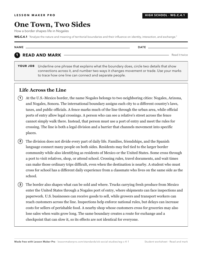
A ready-to-print activity worksheet aligned to WG.C.4.1, with an answer key for the teacher on its own page. No account needed.
PDF, US Letter, prints cleanly in black and white.
Download the worksheetKeep exploring
Related Standards
- WG.C.4.3
Examine changes and challenges to political/territorial arrangements, by describing the forces that shape the world’s contemporary political map, including the ...
- WG.C.4.4
Evaluate how the forces of cooperation and conflict among people influence the control and management of territory and resources.
- WG.C.1.3
Define regions and analyze changing interconnections among places, using historical and contemporary examples.
- 6.C.7
Analyze the common characteristics of regions which create a sense of identity and unity, influencing the interactions among people and nations of the Western H...
Turn this exact standard into a lesson
Grade, subject, topic, and the complete standard are prefilled. Create one free, no account needed.
Also for this standard:Make a WorksheetMake a QuizMake a Sub Lesson