Oklahoma Social Studies OKH.C.1.1
The Standard
- OKH.C.1
- Describe the state’s geography and the historic foundations laid by American Indian, European, and American cultures.
Describe the diverse physical features of Oklahoma and how the environment, ecological regions, and natural resources can affect human activity, by comparing information on historical and contemporary thematic maps.
Oklahoma Academic Standards for Social Studies (2026) · OKH.C.1
Teacher's field guide
What This Standard Means
What Students Need to Do
- Students compare older and current Oklahoma maps to see where land use has changed. They use maps of landforms, ecological regions, and resources to explain where people farm, ranch, build towns, or drill for oil.
What Mastery Looks Like
- A student can point to map evidence when explaining why grazing is common in the Panhandle or timber work developed in the southeast. They can describe a change over time without assuming the land or its resources caused it on their own.
Common Misconceptions
- Students may picture all of Oklahoma as flat and dry, overlooking the wetter hills and forests in the east. They may read a current oil map as proof that drilling happened in the same places a century ago. Some confuse a population map with a map of physical features.
How to Assess It
- Give students an older and a current Oklahoma land-use map, plus an ecoregions map. Ask them to name one change and use two map details to explain it.
Lesson moves
Ways to Teach It
Lay a clear ecoregions map over an older Oklahoma settlement map; have students mark three places where rivers, hills, or grasslands shaped land use.
Ask, "Why might a rancher choose the Panhandle while a logger chooses southeastern Oklahoma?" Require one map detail for each place.
Partners match oil, wheat, timber, and grazing cards to places on older and current Oklahoma land-use maps, then defend each match.
Compare a 1930s Oklahoma farm map with a current wind resource map, then discuss why turbines may stand near grazing land today.
Free download
Printable OKH.C.1.1 Worksheet
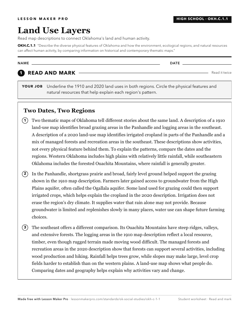
A ready-to-print activity worksheet aligned to OKH.C.1.1, with an answer key for the teacher on its own page. No account needed.
PDF, US Letter, prints cleanly in black and white.
Download the worksheetKeep exploring
Related Standards
- 3.C.2.2
Examine Oklahoma’s political and physical features using physical and political maps.
- 3.C.2
Examine Oklahoma’s geography and how people of Oklahoma interact with their environment.
- 3.C.2.2.C
Interpret thematic maps of Oklahoma using essential map elements (e.g., title, legend, scale, compass rose) to examine geographic features of the state.
- 3.C.2.2.D
Use both political and physical maps to identify Oklahoma’s major landforms, bodies of water, and major metropolitan centers, recognizing the Native origins of ...
Turn this exact standard into a lesson
Grade, subject, topic, and the complete standard are prefilled. Create one free, no account needed.
Also for this standard:Make a WorksheetMake a QuizMake a Sub Lesson