Oklahoma Social Studies 3.C.2.2.C
The Standard
- 3.C.2
- Examine Oklahoma’s geography and how people of Oklahoma interact with their environment.
- 3.C.2.2
- Examine Oklahoma’s political and physical features using physical and political maps.
Interpret thematic maps of Oklahoma using essential map elements (e.g., title, legend, scale, compass rose) to examine geographic features of the state.
Oklahoma Academic Standards for Social Studies (2026) · 3.C.2.2
Teacher's field guide
What This Standard Means
What Students Need to Do
- Students use a map title and legend to tell what an Oklahoma map shows. They use the compass rose and scale to describe where features are and estimate distances.
What Mastery Looks Like
- Given an Oklahoma elevation map, a student identifies higher ground using the legend. They describe its direction from a marked city and estimate the distance using the scale.
Common Misconceptions
- Students may think a color marks a county instead of an elevation range. They may reverse east and west or measure between places without converting the length using the scale.
How to Assess It
- Give students a titled Oklahoma elevation map with Tulsa and Oklahoma City marked. Ask what the map shows, which city is higher, what direction it lies from the other, and roughly how far apart they are.
Lesson moves
Ways to Teach It
Give pairs an Oklahoma elevation map, sticky notes, and rulers; have them label the highest region and estimate its distance from Tulsa.
Project an Oklahoma elevation map and ask, 'Which side has higher ground? Which legend colors support your answer?'
Play map clue cards: name two marked cities, then have teams compare their elevation, direction, and distance using the map.
Mark Tulsa and Guymon on an Oklahoma elevation map; students estimate straight-line distance and predict where a traveler reaches higher ground.
Free download
Printable 3.C.2.2.C Worksheet
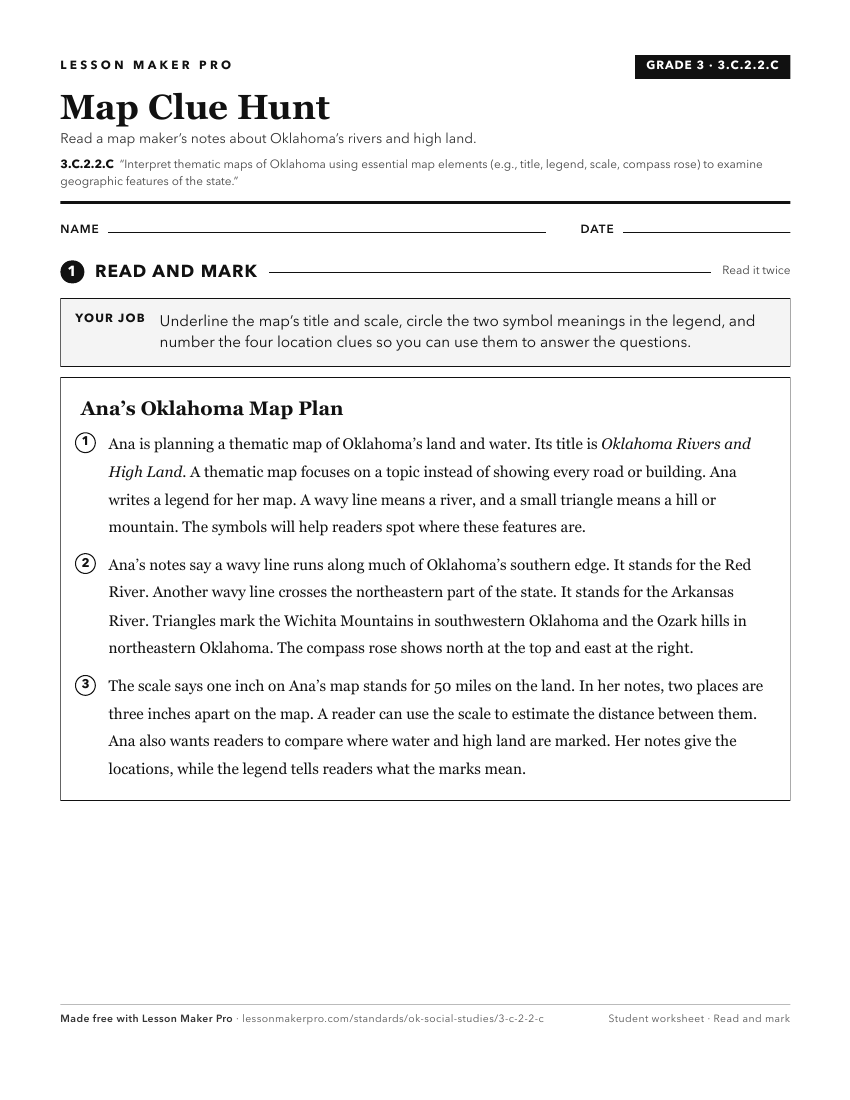
A ready-to-print activity worksheet aligned to 3.C.2.2.C, with an answer key for the teacher on its own page. No account needed.
PDF, US Letter, prints cleanly in black and white.
Download the worksheetKeep exploring
Related Standards
- 3.C.2.2
Examine Oklahoma’s political and physical features using physical and political maps.
- OKH.C.1.1
Describe the diverse physical features of Oklahoma and how the environment, ecological regions, and natural resources can affect human activity, by comparing in...
- 4.C.2.1.A
Use and describe various elements of maps (e.g., key/legend, scale, cardinal and intermediate directions) to examine the physical and human features of the nati...
- 3.C.2.2.D
Use both political and physical maps to identify Oklahoma’s major landforms, bodies of water, and major metropolitan centers, recognizing the Native origins of ...
Turn this exact standard into a lesson
Grade, subject, topic, and the complete standard are prefilled. Create one free, no account needed.
Also for this standard:Make a WorksheetMake a QuizMake a Sub Lesson