Oklahoma Social Studies AWH.C.4.3
The Standard
Describe the Phoenician settlement of Carthage circa 900 BC, the expansion of Carthaginian economic and political power in the Western Mediterranean, Carthaginian colonization, and Carthage’s wars with the Greek city-states.
Oklahoma Academic Standards for Social Studies (2026)
Teacher's field guide
What This Standard Means
What Students Need to Do
- Students locate Carthage and trace how a Phoenician settlement grew into a western Mediterranean power. They connect its colonies and ports to trade and explain why it fought Greek cities in Sicily.
What Mastery Looks Like
- On a blank map, students can place Carthage, Iberia, Sardinia, Sicily, and Syracuse. They can explain how trade and colonies expanded Carthage's power and why it clashed with Syracuse over Sicily.
Common Misconceptions
- Some students think Carthage was a Greek or Roman city, rather than a Phoenician settlement. Others confuse its wars with Syracuse with its later wars against Rome. They may assume every colony began as a military conquest, overlooking trade settlements.
How to Assess It
- On a blank Mediterranean map, have students label Carthage, Sicily, and Syracuse, then write one sentence explaining why Carthage and Syracuse fought.
Lesson moves
Ways to Teach It
Give pairs a blank Mediterranean map and colored pencils; have them mark Carthage, coastal colonies, trade routes, and contested Sicily.
Ask, 'Why would Carthage and Syracuse both want ports in Sicily?' Have students cite two details from their maps.
Hand out cards for Carthage, Sardinia, Iberia, Sicily, and Syracuse; teams sort them into home city, colony sites, disputed island, and rival city.
Show a modern map of Mediterranean shipping routes; students mark Carthage and Sicily and explain why nearby ports could help control trade.
Free download
Printable AWH.C.4.3 Worksheet
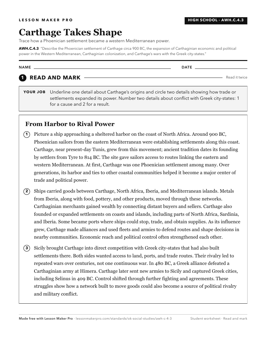
A ready-to-print activity worksheet aligned to AWH.C.4.3, with an answer key for the teacher on its own page. No account needed.
PDF, US Letter, prints cleanly in black and white.
Download the worksheetKeep exploring
Related Standards
- AWH.C.7.1
Locate on a historical map ancient Rome, tracing the changing boundaries of the Roman Republic and Empire from 500 BC to 500 AD and explaining how the geographi...
- AWH.C.4.2
Identify the Phoenicians as the successors to the Minoans in dominating maritime trade in the Mediterranean and describe the value of the Phoenician writing sys...
- AWH.C.6.2
Explain how the geographical location of Athens and other city-states contributed to their role in maritime trade, colonies in the Mediterranean, and the expans...
- AWH.C.4.1
Locate on a map of the ancient Mediterranean world the center of Levantine civilizations and describe the role of Levantine peoples in transmitting Mesopotamian...
Turn this exact standard into a lesson
Grade, subject, topic, and the complete standard are prefilled. Create one free, no account needed.
Also for this standard:Make a WorksheetMake a QuizMake a Sub Lesson