Oklahoma Social Studies 6.C.1.3
The Standard
- 6.C.1
- Analyze data from a geographic perspective using the skills and tools of geography.
Compare characteristics of major regions of the Western Hemisphere through the regular use of strategies, such as the Five Themes of Geography (location, place, human-environment-interaction, movement, regions) which utilize critical thinking about geographic concepts.
Oklahoma Academic Standards for Social Studies (2026) · 6.C.1
Teacher's field guide
What This Standard Means
What Students Need to Do
- Students find the Amazon Basin and Great Plains on a map. They compare climate, vegetation, land use, and travel routes. They use map evidence to explain how the land affects people's choices.
What Mastery Looks Like
- A student can locate both regions and name two accurate differences. They can explain, using a map, why river travel is common in parts of the Amazon Basin while roads connect Great Plains farms.
Common Misconceptions
- Students may treat a region as a country with fixed borders. They may assume everyone in a region lives or travels the same way, or describe a difference without pointing to map evidence.
How to Assess It
- On a blank map, label the Amazon Basin and Great Plains. Write two differences and use one map feature to explain how people travel in either region.
Lesson moves
Ways to Teach It
Using an atlas, have pairs shade both regions on blank maps, then mark a river route and a road route.
Have students write two sentences explaining why boats serve some Amazon Basin communities while trucks serve Great Plains farms, using a transport map.
Play a card sort: students place climate, farming, river travel, and road travel cards under each region, then defend two placements with atlas evidence.
Use maps to plan how a Kansas wheat farmer and an Amazon river merchant could get goods to market, then compare their routes.
Free download
Printable 6.C.1.3 Worksheet
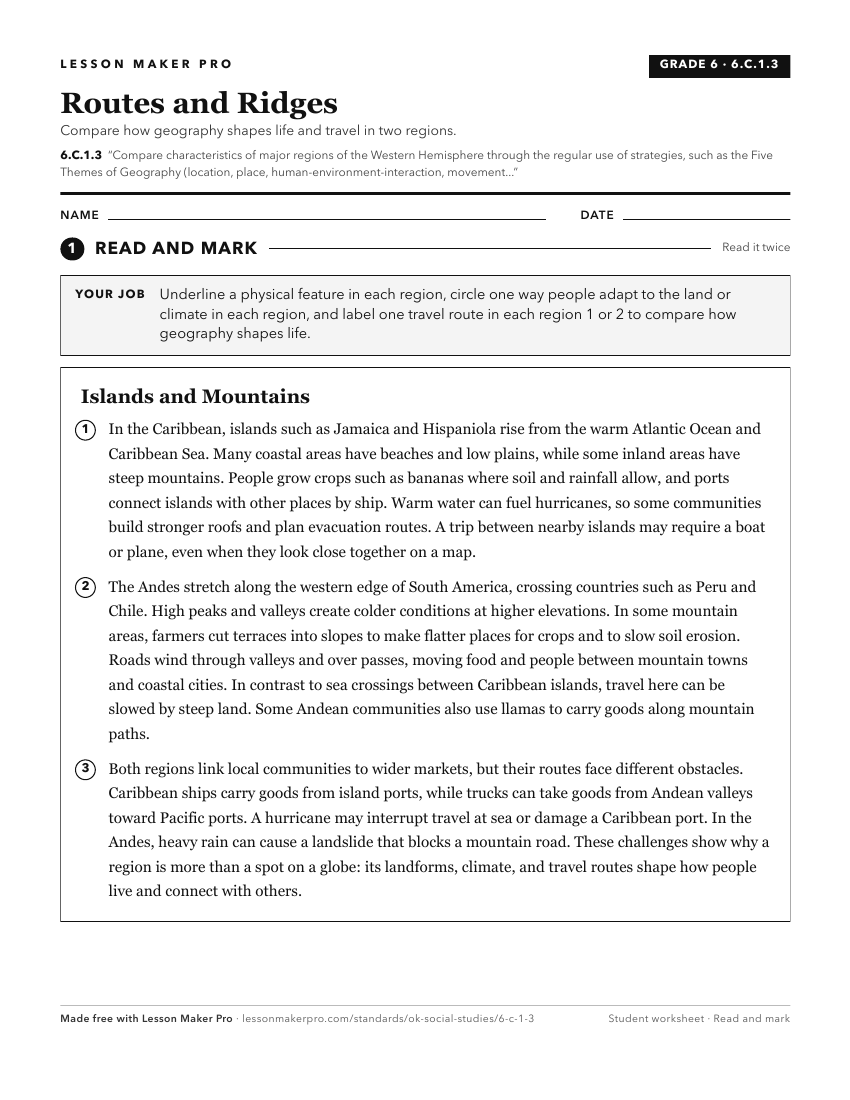
A ready-to-print activity worksheet aligned to 6.C.1.3, with an answer key for the teacher on its own page. No account needed.
PDF, US Letter, prints cleanly in black and white.
Download the worksheetKeep exploring
Related Standards
- 6.C.2.1
Identify and describe on a physical map the major landforms and bodies of water important to the development of each region of the Western Hemisphere.
- 4.C.2.1.E
Analyze the human and physical characteristics of the United States of America using the Five Themes of Geography (location, place, human-environment-interactio...
- 6.C.2
Analyze the physical systems of the major regions of the Western Hemisphere.
- 6.C.7
Analyze the common characteristics of regions which create a sense of identity and unity, influencing the interactions among people and nations of the Western H...
Turn this exact standard into a lesson
Grade, subject, topic, and the complete standard are prefilled. Create one free, no account needed.
Also for this standard:Make a WorksheetMake a QuizMake a Sub Lesson