Oklahoma Social Studies 4.C.4.3
Standard Cluster
- 4.C.4
- Examine the United States of America’s economic system and its economic activities which support human development.
Describe the patterns and networks of economic interdependence among regions and the world. Explain how transportation routes connect economic regions and support economic growth (e.g., St. Lawrence Seaway, Transcontinental Railroad, Route 66, Interstate Highway System). Describe reasons why people and nations trade, providing examples of major imports and exports produced and consumed by Americans.
Oklahoma Academic Standards for Social Studies (2026) · 4.C.4
Cluster contents
Standards in This Cluster
4.C.4.3 is a cluster heading. These are the individual standards under it.
- 4.C.4.3.A
Explain how transportation routes connect economic regions and support economic growth (e.g., St. Lawrence Seaway, Transcontinental Railroad, Route 66, Intersta...
- 4.C.4.3.B
Describe reasons why people and nations trade, providing examples of major imports and exports produced and consumed by Americans.
Teacher's field guide
What This Cluster Means
What Students Need to Do
- Students trace how goods move between U.S. regions and other countries by road, rail, and water. They explain why places trade and how transportation routes help sellers reach buyers. They identify goods Americans import and export.
What Mastery Looks Like
- A student can trace U.S. wheat from the Great Lakes through the St. Lawrence Seaway to buyers overseas and explain why the water route helps farmers sell it. They can identify wheat as an export and coffee from Brazil as an import.
Common Misconceptions
- Students may mix up imports and exports. They may think goods move straight from a farm or factory to a buyer, without trucks, trains, or ships. Some think regions trade only with other countries, not with each other.
How to Assess It
- On a small map, have students trace U.S. wheat through the Great Lakes and St. Lawrence Seaway to an overseas buyer. Ask them to label wheat an export, name one import, and explain why the water route helps trade.
Lesson moves
Ways to Teach It
Give groups a map, yarn, and cards labeled Midwest wheat, Great Lakes, St. Lawrence Seaway, and Europe; have them build a shipping route.
Ask students to write: Why might Americans buy coffee from Brazil while selling wheat to another country?
Deal cards labeled U.S. wheat, Brazilian coffee, train, ship, and truck; teams build routes and label each good an import or export.
Bring three grocery labels to class; students map their origins and suggest a truck, train, or ship route each item might take to town.
Free download
Printable 4.C.4.3 Worksheet
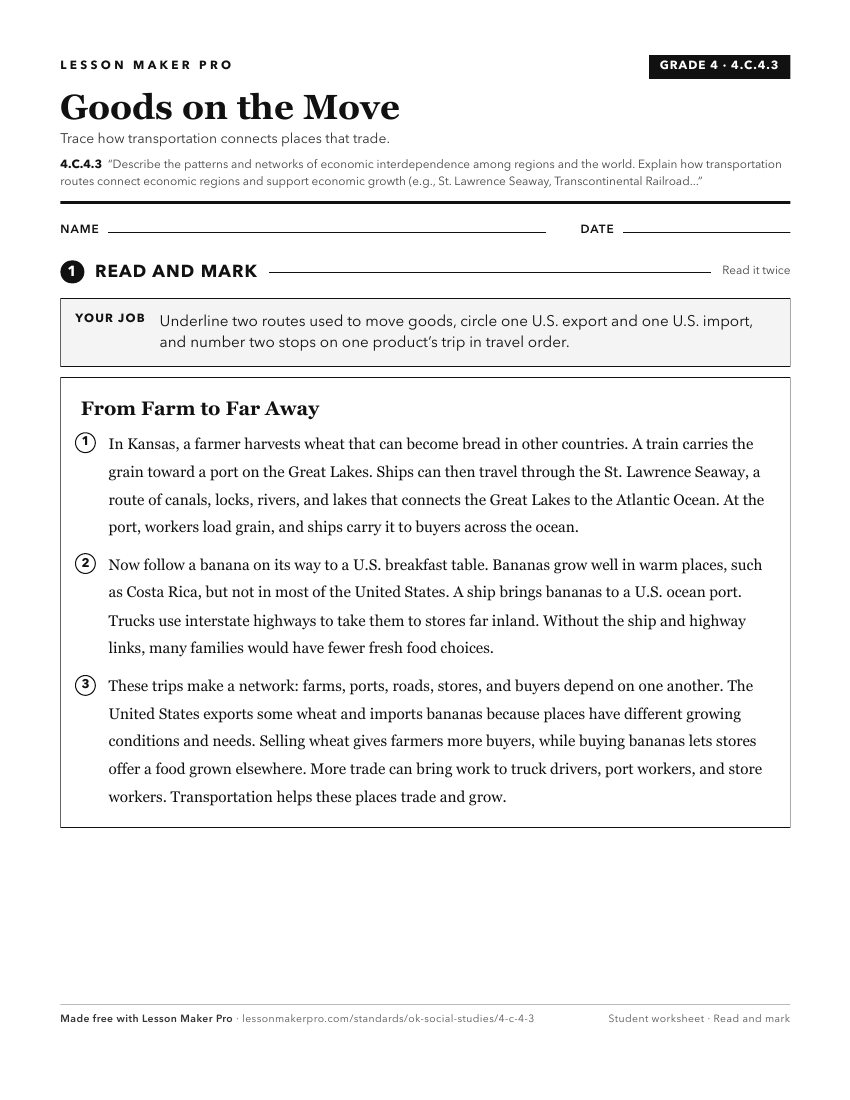
A ready-to-print activity worksheet aligned to 4.C.4.3, with an answer key for the teacher on its own page. No account needed.
PDF, US Letter, prints cleanly in black and white.
Download the worksheetKeep exploring
Related Standards
- 6.C.7.4
Describe patterns of economic interdependence and trade linking regions of the Western Hemisphere.
- 7.C.8.4
Examine indicators of economic interdependence and world trade, including why nations are concerned with the balance of trade, and explain major trade patterns ...
- 7.C.8.3
Explain patterns of global interdependence, including the impact of changing technology on trade routes, dependence on resources, use of low-cost labor, and the...
- WG.C.6.3
Compare contemporary patterns of industrialization and development in selected regions of the world.
Turn this cluster into a lesson
Grade, subject, topic, and the complete cluster are prefilled. Create one free, no account needed.
Also for this cluster:Make a WorksheetMake a QuizMake a Sub Lesson