NGSS MS-ESS3-2
The Standard
Analyze and interpret data on natural hazards to forecast future catastrophic events and inform the development of technologies to mitigate their effects.
Next Generation Science Standards
Teacher's field guide
What This Standard Means
What Students Need to Do
- Students read maps, tables, and graphs for patterns in where hazards occur, how strong they are, and how often they happen. They use those patterns and warning signs to make a reasonable forecast. They then choose a technology that can monitor the hazard or reduce damage.
What Mastery Looks Like
- Students spot patterns in hazard location, magnitude, and frequency. They make a supported forecast without claiming an exact date or place. They match a monitoring or protective technology to the evidence and explain how it reduces harm.
Common Misconceptions
- Students often treat a forecast as an exact prediction of date, location, and magnitude. They may assume every hazard has warning signs, or that earthquakes can be predicted like hurricanes. They also confuse reducing damage with stopping the hazard itself.
How to Assess It
- Give students three zones: A had six floods in ten years, B had two, and C had none. Ask which zone has the highest future flood risk, what the data cannot predict, and one suitable mitigation technology.
Lesson moves
Ways to Teach It
Overlay transparent maps of earthquake locations, plate boundaries, and population centers, then mark two places where stronger building designs would reduce risk.
Give students volcano gas and earthquake records, then ask: Which event offers warning signs, and what evidence supports your answer?
Run a forecast card game where teams rank hazard scenarios by likelihood using location, magnitude, and frequency data.
Use a recent NOAA hurricane track map to choose where evacuation alerts, storm shutters, or flood barriers should be placed.
Free download
Printable MS-ESS3-2 Worksheet
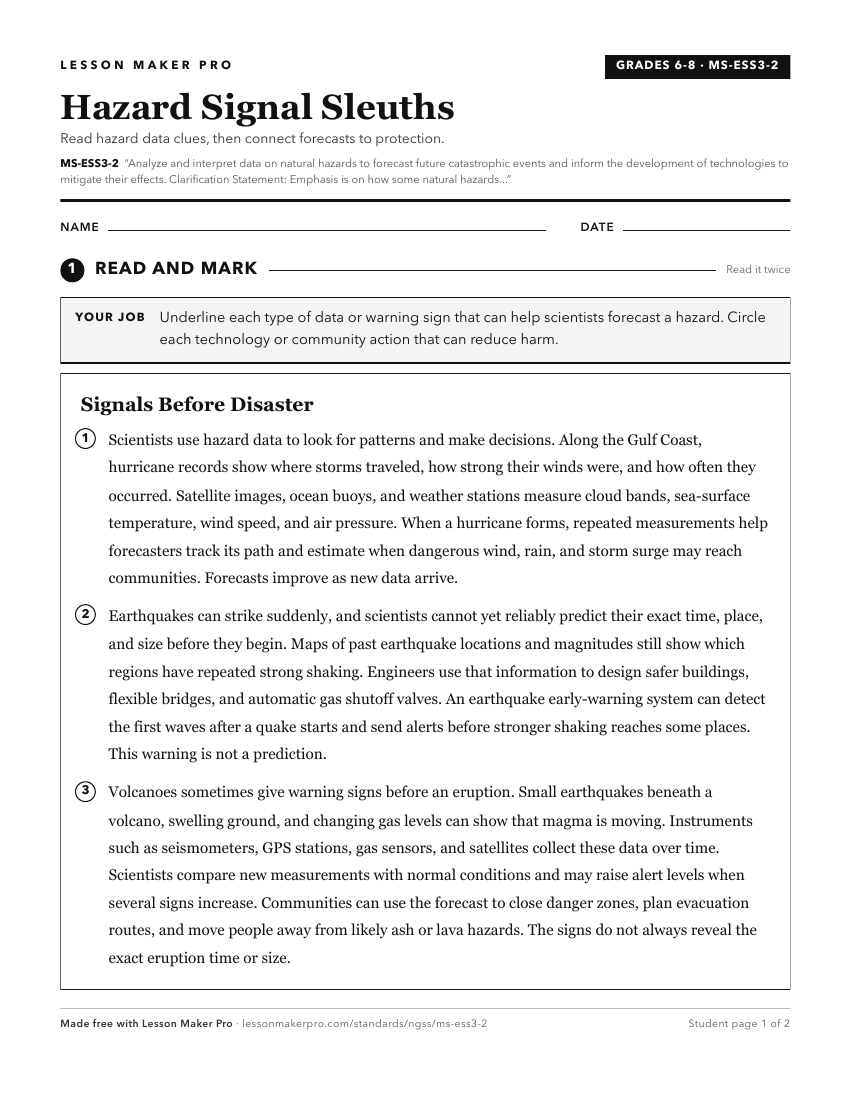
A ready-to-print activity worksheet aligned to MS-ESS3-2, with an answer key for the teacher on its own page. No account needed.
PDF, US Letter, prints cleanly in black and white.
Download the worksheetLearning progression
Where This Standard Sits
See the whole path on the Earth & Space Science progression map.
What This Unlocks
Mastery here sets students up for these next.
Keep exploring
Related Standards
- HS-ESS3-5
Analyze geoscience data and the results from global climate models to make an evidence-based forecast of the current rate of global or regional climate change a...
- 4-ESS3-2
Generate and compare multiple solutions to reduce the impacts of natural Earth processes on humans.
- 4-ESS2-2
Analyze and interpret data from maps to describe patterns of Earth's features.
Turn this exact standard into a lesson
Grade, subject, topic, and the complete standard are prefilled. Create one free, no account needed.
Also for this standard:Make a WorksheetMake a QuizMake a Sub Lesson