Mississippi Science MAQ.3.4
The Standard
- MAQ.3
- Students will understand the principles of plate tectonics, sea floor spreading, and physical features of oceanic zones.
Classify zones of freshwater sources based on the velocity of current, depth, and temperature.
2026 Mississippi College- and Career-Readiness Standards for Science · Geological Features
Teacher's field guide
What This Standard Means
What Students Need to Do
- Students use current speed, depth, and temperature readings to sort parts of streams and lakes into zones. They explain which readings support each choice.
What Mastery Looks Like
- Given measurements from a stream, a student identifies fast, shallow riffles and slow, deep pools. Given summer lake readings, they distinguish warmer surface water from colder deep water.
Common Misconceptions
- Students may call any slow stream water a pool, even when it is shallow. They may assume a lake has the same temperature from top to bottom, or that deep water stays cold in every season.
How to Assess It
- Exit ticket: Label two stream sites, A (0.2 m deep, 0.8 m/s) and B (2 m deep, 0.05 m/s), as riffle or pool, with one reason each. On a summer day, which lake sample likely came from deeper water, 24°C or 9°C?
Lesson moves
Ways to Teach It
Build a stream tray with gravel; time floating corks across shallow and deep sections, then measure depth and temperature at each spot.
Ask: Why might a deep pool stay cooler than a shallow riffle on a sunny afternoon? Write a claim using two measurements.
Give pairs six site cards with speed, depth, and temperature readings; have them sort riffles, pools, lake surface water, and lake deep water.
Give students a river map with depth, speed, and temperature readings; have them mark where to avoid strong current while wading.
Free download
Printable MAQ.3.4 Worksheet
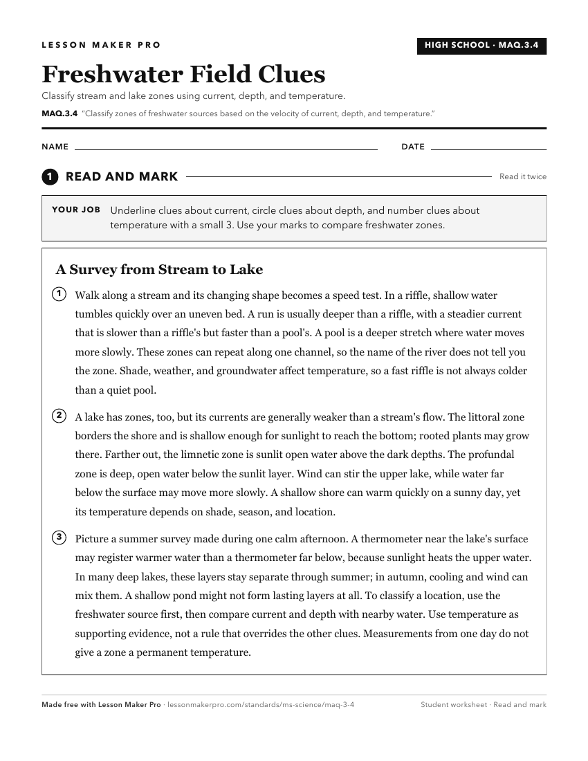
A ready-to-print activity worksheet aligned to MAQ.3.4, with an answer key for the teacher on its own page. No account needed.
PDF, US Letter, prints cleanly in black and white.
Download the worksheetKeep exploring
Related Standards
- MAQ.3.3
Classify zones of the ocean based on distance from shorelines (i.e., intertidal, neritic, oceanic, and benthic zones), temperature, and light availability (i.e....
- E.1.9B.1
Locate, classify, and describe bodies of water (oceans, rivers, lakes, and ponds) on the Earth's surface using maps, globes, or other media.
- MAQ.2.5
Distinguish between lentic and lotic water systems, including water flow, seasonal overturn, and watershed mapping.
- MAQ.1.4
Collect, analyze, and communicate quantitative data that includes dissolved oxygen, pH, temperature, salinity, mineral content, nitrogen compounds, and turbidit...
Turn this exact standard into a lesson
Grade, subject, topic, and the complete standard are prefilled. Create one free, no account needed.
Also for this standard:Make a WorksheetMake a QuizMake a Sub Lesson