Mississippi Science MAQ.3.3
The Standard
- MAQ.3
- Students will understand the principles of plate tectonics, sea floor spreading, and physical features of oceanic zones.
Classify zones of the ocean based on distance from shorelines (i.e., intertidal, neritic, oceanic, and benthic zones), temperature, and light availability (i.e., epipelagic, mesopelagic, bathypelagic, abyssopelagic, and hadopelagic).
2026 Mississippi College- and Career-Readiness Standards for Science · Geological Features
Teacher's field guide
What This Standard Means
What Students Need to Do
- Students locate ocean zones using distance from shore and depth. They identify where light fades and describe how water generally gets colder with depth. They recognize that benthic means the seafloor, not one layer of water.
What Mastery Looks Like
- They place intertidal at the shore, neritic over the shelf, and oceanic beyond it. They mark the seafloor as benthic. They order the five depth zones from epipelagic to hadopelagic and describe the changes in light and temperature.
Common Misconceptions
- Students may treat benthic as only a deep-water zone, though it is the seafloor at any depth. They may extend the neritic zone past the continental shelf or place hadopelagic water outside deep trenches. Some think sunlight reaches the bathypelagic zone.
How to Assess It
- Give students a blank shore-to-trench diagram. Ask them to label the three shore-based zones, the benthic floor, and five depth zones, then mark where sunlight fades and water generally cools.
Lesson moves
Ways to Teach It
Tape a shore-to-trench profile on the floor, then have students place zone, light, and temperature cards at matching locations.
Ask, 'Can a crab be benthic and live beneath neritic water?' Have students justify their answers on a shelf diagram.
Give pairs ten cards with shelf position or depth and light clues; have them sort the cards into named zones.
Show a NOAA depth map of the Mariana Trench; students mark hadopelagic water and the benthic floor, then note where sunlight cannot reach.
Free download
Printable MAQ.3.3 Worksheet
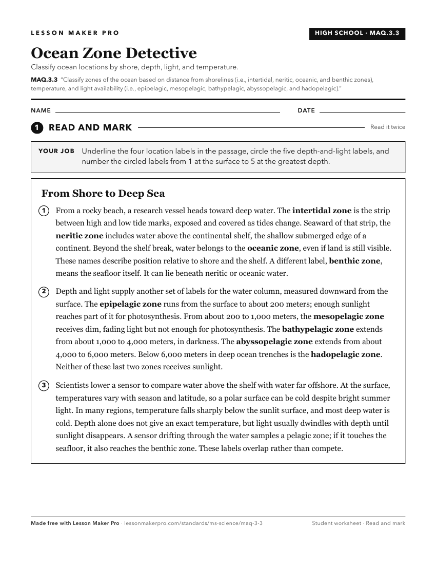
A ready-to-print activity worksheet aligned to MAQ.3.3, with an answer key for the teacher on its own page. No account needed.
PDF, US Letter, prints cleanly in black and white.
Download the worksheetKeep exploring
Related Standards
- MAQ.4.1
Compare and contrast the unique biotic and abiotic characteristics of the following selected aquatic ecosystems: intertidal zone, wetlands/estuaries, coral reef...
- E.1.9B.1
Locate, classify, and describe bodies of water (oceans, rivers, lakes, and ponds) on the Earth's surface using maps, globes, or other media.
- MAQ.3.4
Classify zones of freshwater sources based on the velocity of current, depth, and temperature.
- MAQ.3
Students will understand the principles of plate tectonics, sea floor spreading, and physical features of oceanic zones.
Turn this exact standard into a lesson
Grade, subject, topic, and the complete standard are prefilled. Create one free, no account needed.
Also for this standard:Make a WorksheetMake a QuizMake a Sub Lesson