Mississippi Science MAQ.2.5
The Standard
- MAQ.2
- Students will develop an understanding of the principles of fluid dynamics as it relates to both salt and freshwater systems.
Distinguish between lentic and lotic water systems, including water flow, seasonal overturn, and watershed mapping.
2026 Mississippi College- and Career-Readiness Standards for Science · Fluid Dynamics
Teacher's field guide
What This Standard Means
What Students Need to Do
- Compare how water moves in lakes and ponds with how it moves in streams and rivers. Explain why some lakes mix from top to bottom in spring and fall. Use map contours to find where rain drains into a waterway.
What Mastery Looks Like
- Students label a pond as mostly still and a creek as flowing downstream. They draw a drainage boundary along ridges and add arrows showing runoff toward the creek. They sketch summer lake layers and explain how more even temperatures allow mixing in spring and fall.
Common Misconceptions
- Students may think lake water never moves or that rivers undergo the same seasonal mixing as layered lakes. They may picture a lake flipping over, rather than its water mixing. They may draw drainage boundaries along streams instead of ridges.
How to Assess It
- Give students a contour map showing a creek and a deep lake. Ask them to draw the creek's drainage boundary, add a flow arrow, and explain why the lake may mix in fall.
Lesson moves
Ways to Teach It
Pour water down a tilted tray and into a tub, then add one drop of food coloring to each and compare the dye paths.
Show summer and fall lake temperature diagrams; ask, "Why can wind mix deep lake water after the surface cools?"
Give pairs a contour map with a creek; have them draw the drainage boundary, then swap maps and check runoff arrows.
Use a local contour map to trace where rain falling on the school field would enter a stream or lake.
Free download
Printable MAQ.2.5 Worksheet
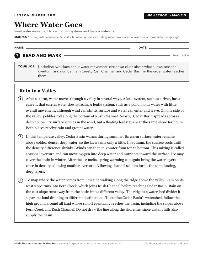
A ready-to-print activity worksheet aligned to MAQ.2.5, with an answer key for the teacher on its own page. No account needed.
PDF, US Letter, prints cleanly in black and white.
Download the worksheetKeep exploring
Related Standards
- MAQ.4.1
Compare and contrast the unique biotic and abiotic characteristics of the following selected aquatic ecosystems: intertidal zone, wetlands/estuaries, coral reef...
- E.1.9B.1
Locate, classify, and describe bodies of water (oceans, rivers, lakes, and ponds) on the Earth's surface using maps, globes, or other media.
- E.3.9.3
Use graphical representations to communicate the distribution of freshwater and saltwater on Earth (e.g., oceans, lakes, rivers, glaciers, groundwater, or polar...
- MAQ.3.1
Use geospatial data to analyze, explain, and communicate differences among the major geological features of specific aquatic ecosystems (e.g., plate tectonics, ...
Turn this exact standard into a lesson
Grade, subject, topic, and the complete standard are prefilled. Create one free, no account needed.
Also for this standard:Make a WorksheetMake a QuizMake a Sub Lesson