Mississippi Science E.8.9B
Standard Cluster
Students will demonstrate an understanding of natural hazards (volcanic eruptions, severe weather, earthquakes) and construct explanations for why some hazards are predictable and others are not. Research and map various types of natural hazards to determine their impact on society. Compare and contrast technologies that predict natural hazards to identify which types of technologies are most effective. Using an engineering design process, create mechanisms to improve community resilience, which safeguard against natural hazards (e.g., building restrictions in flood or tidal zones, regional watershed management, Firewise construction). *
2026 Mississippi College- and Career-Readiness Standards for Science · Earth’s Systems and Cycles
Cluster contents
Standards in This Cluster
E.8.9B is a cluster heading. These are the individual standards under it.
- E.8.9B.1
Research and map various types of natural hazards to determine their impact on society.
- E.8.9B.2
Compare and contrast technologies that predict natural hazards to identify which types of technologies are most effective.
- E.8.9B.3
Using an engineering design process, create mechanisms to improve community resilience, which safeguard against natural hazards (e.g., building restrictions in ...
Teacher's field guide
What This Cluster Means
What Students Need to Do
- Students use maps and reports to find where earthquakes, eruptions, and severe storms put people at risk. They explain why some hazards allow advance warning while others do not. They compare warning tools and design a way to reduce damage.
What Mastery Looks Like
- A student marks hazard areas and nearby homes or roads on a map, then explains who is at risk. They explain that radar tracks storms, while earthquake sensors warn only after a quake starts. They choose a safeguard, such as keeping new homes out of a flood zone, and explain why it helps.
Common Misconceptions
- Students may think earthquake alerts predict a quake before it starts. They may assume a hazard map shows exactly when an event will happen. They may also treat a forecast as a guarantee that a storm will hit one place.
How to Assess It
- Give students a simple map with a fault, river, school, and houses. Ask them to mark two risk areas, choose one warning tool, state its limit, and propose one change that protects the school.
Lesson moves
Ways to Teach It
Lay tracing paper over a printed hazard map and road map, circle exposed buildings, and sketch a safer site for one building.
Ask, "Why can radar track an approaching storm but seismic sensors cannot predict the exact start of an earthquake?"
Play warning-tool match: have pairs match radar, gas monitors, and earthquake alert sensors to hazard cards, then rank the warning time each provides.
Check a local emergency management hazard map, then draw a route from school that avoids a marked risk area.
Free download
Printable E.8.9B Worksheet
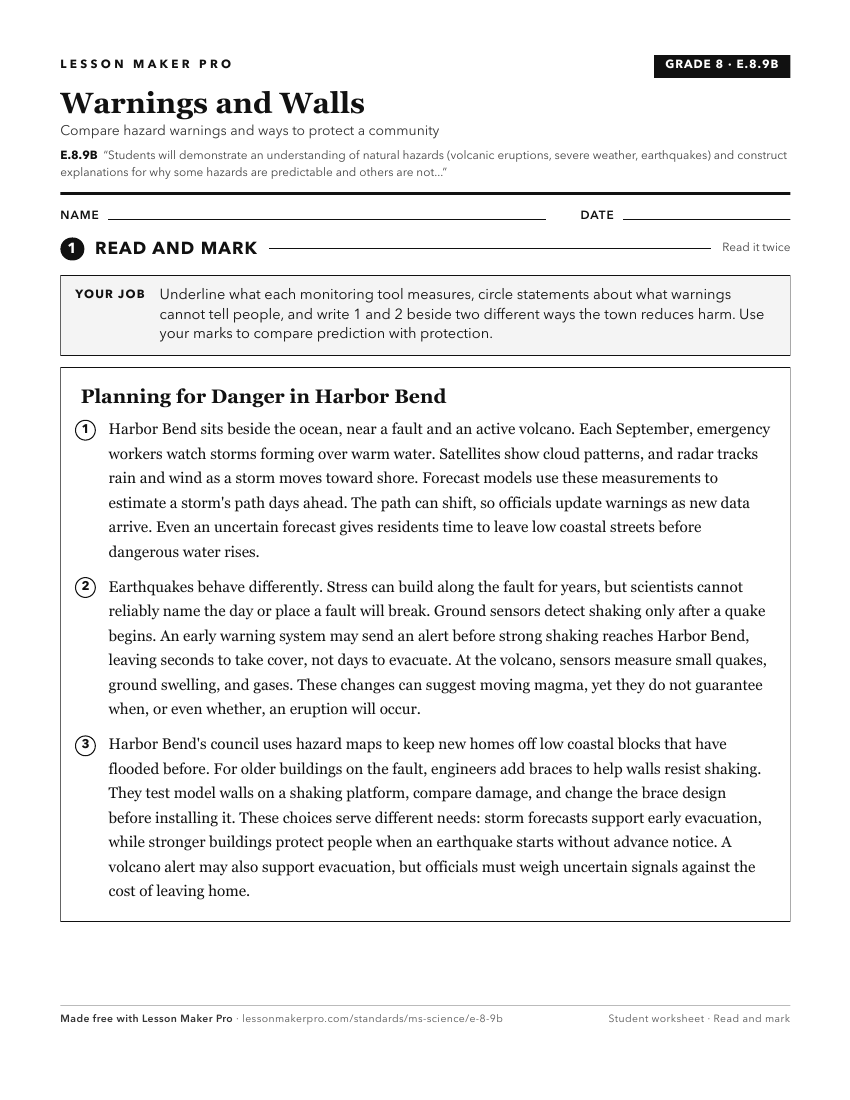
A ready-to-print activity worksheet aligned to E.8.9B, with an answer key for the teacher on its own page. No account needed.
PDF, US Letter, prints cleanly in black and white.
Download the worksheetKeep exploring
Related Standards
- E.8.9A
Students will demonstrate an understanding that physical processes and major geological events (e.g., plate movement, volcanic activity, mountain building, weat...
- E.4.9C
Students will demonstrate an understanding of how natural processes and human activities affect the features of Earth's landforms and oceans.
- E.4.9B
Students will demonstrate an understanding of weather and climate patterns.
- E.7.9B
Students will demonstrate an understanding of the relationship between natural phenomena, human activity, and global climate change.
Turn this cluster into a lesson
Grade, subject, topic, and the complete cluster are prefilled. Create one free, no account needed.
Also for this cluster:Make a WorksheetMake a QuizMake a Sub Lesson