Mississippi Science E.3.7B.2
The Standard
- E.3.7B
- Students will demonstrate an understanding of the composition of Earth and the processes which change Earth's landforms.
Develop and use models to describe the characteristics of Earth's continental landforms and classify landforms as volcanoes, mountains, valleys, canyons, plains, and islands.
2026 Mississippi College- and Career-Readiness Standards for Science · Earth’s Structure and History
Teacher's field guide
What This Standard Means
What Students Need to Do
- Students make drawings or clay models of different landforms. They use clues such as steep sides, flat ground, and surrounding water to name them.
What Mastery Looks Like
- A student can label all six landforms in a model and point to a clue for each label. They can explain how a steep-sided canyon differs from a broad valley.
Common Misconceptions
- Students may call every mountain a volcano, even when no volcanic opening is shown. They may mix up valleys and canyons, or think an island must be small and flat.
How to Assess It
- Show six photos, one of each landform. Ask students to name each one, then sketch a canyon and label the features that helped them recognize it.
Lesson moves
Ways to Teach It
Use clay and blue paper to build all six landforms; label each one and mark the volcano's opening.
Show photos of a broad valley and a steep-sided canyon; ask, “What clues help you name each one?”
Give pairs six landform photo cards and six name cards; have them match each pair and explain one visible clue.
Show a map of Hawaii; have students find an island, trace its water boundary, and locate a volcano.
Free download
Printable E.3.7B.2 Worksheet
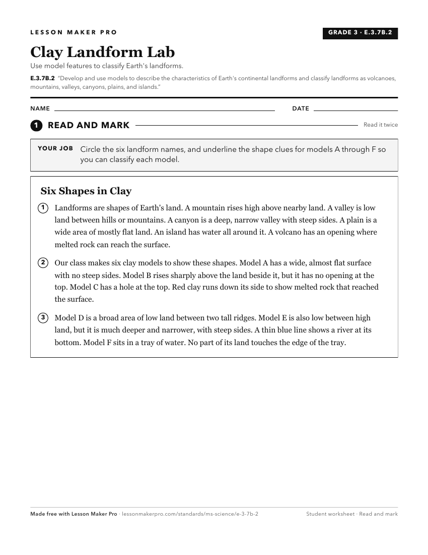
A ready-to-print activity worksheet aligned to E.3.7B.2, with an answer key for the teacher on its own page. No account needed.
PDF, US Letter, prints cleanly in black and white.
Download the worksheetKeep exploring
Related Standards
- E.3.9.1
Develop models to communicate the characteristics of the Earth's major systems, including the geosphere, hydrosphere, atmosphere, and biosphere (e.g., digital m...
- FB.6.4
Develop and use models to discuss the climate, flora, and fauna of the terrestrial and aquatic biomes of the world.
- E.8.9A.5
Use models that demonstrate convergent and divergent plate movements that are responsible for most landforms and the distribution of most rocks and minerals wit...
- E.3.7B.3
Develop and use models of weathering, erosion, and deposition processes which explain the appearance of various Earth features (e.g., the Grand Canyon, Arches N...
Turn this exact standard into a lesson
Grade, subject, topic, and the complete standard are prefilled. Create one free, no account needed.
Also for this standard:Make a WorksheetMake a QuizMake a Sub Lesson