Mississippi Science E.8.9A.5
The Standard
- E.8.9A
- Students will demonstrate an understanding that physical processes and major geological events (e.g., plate movement, volcanic activity, mountain building, weathering, erosion) are powered by the Sun and the Earth's internal heat and have occurred over millions of years.
Use models that demonstrate convergent and divergent plate movements that are responsible for most landforms and the distribution of most rocks and minerals within Earth’s crust.
2026 Mississippi College- and Career-Readiness Standards for Science · Earth’s Systems and Cycles
Teacher's field guide
What This Standard Means
What Students Need to Do
- Students build or read models of plates moving apart and plates coming together. They use those models to explain ridges, volcanoes, and mountains, plus patterns in where rocks and minerals occur.
What Mastery Looks Like
- A student shows new basalt forming at a mid-ocean ridge as plates separate. They model an oceanic plate sinking under a continent and point to nearby volcanoes and copper deposits. They show how colliding continents form mountains with metamorphic rock.
Common Misconceptions
- Students may leave an empty gap when plates pull apart instead of showing new crust forming. Some put volcanoes at every convergent boundary, including where two continents collide. Others place the same rocks and minerals at every boundary.
How to Assess It
- On an exit ticket, have students sketch plates pulling apart under the ocean and an oceanic plate sinking beneath a continent. Ask them to add arrows, landforms, and likely locations for basalt and copper deposits.
Lesson moves
Ways to Teach It
Pull two craft-foam plates apart and press clay into the gap, then push plates together to fold a paper strip into mountains.
Show maps of basalt at ocean ridges and metamorphic rock in the Himalayas; ask, "How does plate movement explain each pattern?"
Give pairs divergent and subduction cards, ridge and volcano photos, and basalt and copper cards; have them match sets and explain each match.
Use a map of the Andes and nearby copper mines; trace the plate boundary and label the volcanoes and copper deposits near the subduction zone.
Free download
Printable E.8.9A.5 Worksheet
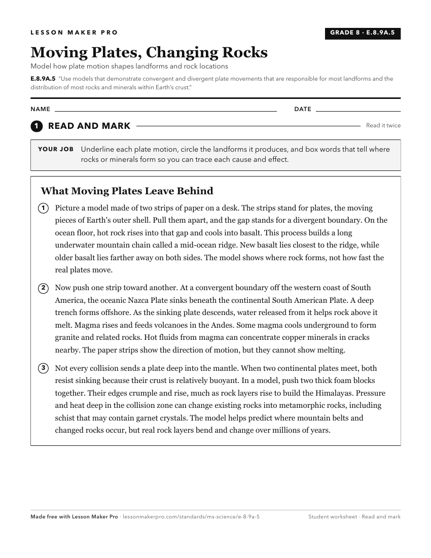
A ready-to-print activity worksheet aligned to E.8.9A.5, with an answer key for the teacher on its own page. No account needed.
PDF, US Letter, prints cleanly in black and white.
Download the worksheetKeep exploring
Related Standards
- E.8.9A.2
Explore and debate theories of plate tectonics to form conclusions about past and current movements of rocks at Earth's surface throughout history.
- E.3.7A.2
Develop and use models to demonstrate the processes involved in the development of various rock formations, including superposition, and how those formations ca...
- E.3.7B.2
Develop and use models to describe the characteristics of Earth's continental landforms and classify landforms as volcanoes, mountains, valleys, canyons, plains...
- E.8.9A.3
Map land and water patterns from various time periods and use rocks and fossils to report evidence of how Earth's plates have moved great distances, collided, a...
Turn this exact standard into a lesson
Grade, subject, topic, and the complete standard are prefilled. Create one free, no account needed.
Also for this standard:Make a WorksheetMake a QuizMake a Sub Lesson