Mississippi Science E.8.9A.3
The Standard
- E.8.9A
- Students will demonstrate an understanding that physical processes and major geological events (e.g., plate movement, volcanic activity, mountain building, weathering, erosion) are powered by the Sun and the Earth's internal heat and have occurred over millions of years.
Map land and water patterns from various time periods and use rocks and fossils to report evidence of how Earth’s plates have moved great distances, collided, and spread apart.
2026 Mississippi College- and Career-Readiness Standards for Science · Earth’s Systems and Cycles
Teacher's field guide
What This Standard Means
What Students Need to Do
- Students compare maps of land and water from different times and mark where continents were once joined. They use fossils and rocks to explain how plates traveled far, collided, and spread apart.
What Mastery Looks Like
- A student can match fossils on continents now separated by an ocean and show where those continents fit on an older map. They can use folded mountain rocks as evidence of a collision and young seafloor rocks near a ridge as evidence of spreading.
Common Misconceptions
- Students may think matching land fossils mean animals swam across an ocean. They may think mountains form when plates pull apart, or that the youngest seafloor is farthest from a ridge.
How to Assess It
- Give students an ancient map and a present-day map, with matching fossils across the Atlantic and folded rocks at a mountain range. Ask them to draw plate movement arrows and name one clue for spreading and one for collision.
Lesson moves
Ways to Teach It
Give pairs cutout continents marked with matching fossil sites and rock bands; have them fit the pieces together on an ancient map.
Ask students: Why are the same land fossils found in Africa and South America, and what rock clue would support your answer?
Deal dated map cards and fossil and rock clue cards; teams match the evidence to a map and call out collision or spreading.
On a map of Atlantic seafloor ages, students mark the Mid-Atlantic Ridge and predict which way South America moves today.
Free download
Printable E.8.9A.3 Worksheet
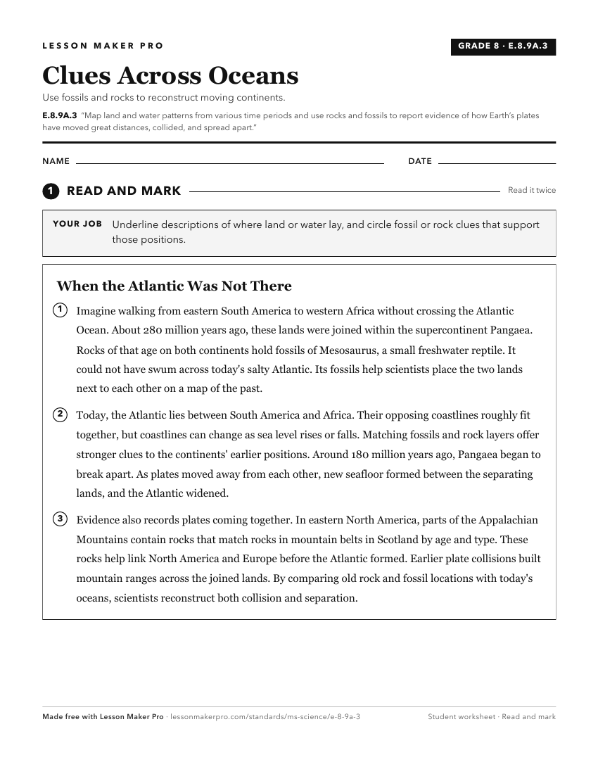
A ready-to-print activity worksheet aligned to E.8.9A.3, with an answer key for the teacher on its own page. No account needed.
PDF, US Letter, prints cleanly in black and white.
Download the worksheetKeep exploring
Related Standards
- E.8.9A.2
Explore and debate theories of plate tectonics to form conclusions about past and current movements of rocks at Earth's surface throughout history.
- E.8.9A.5
Use models that demonstrate convergent and divergent plate movements that are responsible for most landforms and the distribution of most rocks and minerals wit...
- E.8.7.1
Use scientific evidence to create a timeline of Earth’s history that depicts relative dates from index fossil records and layers of rock (strata).
- ESS.2B.4
Research, analyze, and explain the origin of geologic features and processes that result from plate tectonics, including sea floor spreading, earthquake activit...
Turn this exact standard into a lesson
Grade, subject, topic, and the complete standard are prefilled. Create one free, no account needed.
Also for this standard:Make a WorksheetMake a QuizMake a Sub Lesson