Mississippi Science E.1.9B
Standard Cluster
Students will demonstrate an understanding of models (drawings or maps) to describe how water and land are distributed on Earth. Locate, classify, and describe bodies of water (oceans, rivers, lakes, and ponds) on the Earth’s surface using maps, globes, or other media. Generate and answer questions to explain the patterns and location of frozen and liquid bodies of water on Earth using maps, globes, or other media. With teacher guidance, plan and conduct a structured investigation to determine how the movement of water can change the shape of the land on Earth.
2026 Mississippi College- and Career-Readiness Standards for Science · Earth’s Systems and Cycles
Cluster contents
Standards in This Cluster
E.1.9B is a cluster heading. These are the individual standards under it.
- E.1.9B.1
Locate, classify, and describe bodies of water (oceans, rivers, lakes, and ponds) on the Earth's surface using maps, globes, or other media.
- E.1.9B.2
Generate and answer questions to explain the patterns and location of frozen and liquid bodies of water on earth using maps, globes, or other media.
- E.1.9B.3
With teacher guidance, plan and conduct a structured investigation to determine how the movement of water can change the shape of the land on earth.
Teacher's field guide
What This Cluster Means
What Students Need to Do
- Use maps and globes to find land, oceans, rivers, lakes, ponds, and ice. Ask where water is frozen or liquid, then use a map to answer. Pour water across sand and describe what changes.
What Mastery Looks Like
- On a simple map, students name an ocean, river, lake, and pond. They point out frozen water near the poles and liquid water elsewhere. They show where flowing water moved sand in a tray.
Common Misconceptions
- Students may call every blue shape an ocean or confuse a river with a lake. They may mistake white polar ice for land or think ice appears only at the poles. They may think flowing water cannot move sand.
How to Assess It
- Give students a simple map showing an ocean, river, lake, pond, and polar ice, alongside before-and-after pictures of a sand hill. Ask them to name the water bodies, find the ice, and circle the sand that moved.
Lesson moves
Ways to Teach It
Build a sand hill in a tray, sketch it, pour one cup of water down one side, then sketch where sand moved.
Show a globe with polar ice and blue oceans; ask, “Where is water frozen, and where is it liquid?”
Play a sorting game with picture cards of oceans, rivers, lakes, and ponds; match each card to a shape on a map.
Use a town map to find a nearby river or pond; compare its shape with an ocean on a world map.
Free download
Printable E.1.9B Worksheet
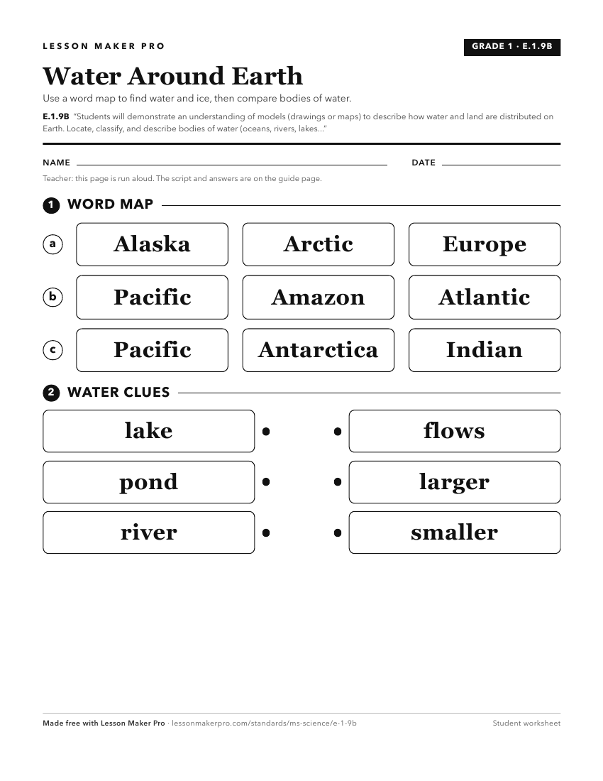
A ready-to-print activity worksheet aligned to E.1.9B, with an answer key for the teacher on its own page. No account needed.
PDF, US Letter, prints cleanly in black and white.
Download the worksheetKeep exploring
Related Standards
- E.3.9
Students will demonstrate an understanding of how the Earth’s systems (i.e., geosphere, hydrosphere, atmosphere, and biosphere) interact in multiple ways to aff...
- E.4.9C
Students will demonstrate an understanding of how natural processes and human activities affect the features of Earth's landforms and oceans.
- E.3.9.1
Develop models to communicate the characteristics of the Earth's major systems, including the geosphere, hydrosphere, atmosphere, and biosphere (e.g., digital m...
- E.3.7B
Students will demonstrate an understanding of the composition of Earth and the processes which change Earth's landforms.
Turn this cluster into a lesson
Grade, subject, topic, and the complete cluster are prefilled. Create one free, no account needed.
Also for this cluster:Make a WorksheetMake a QuizMake a Sub Lesson