Indiana Social Studies WG.5.1
The Standard
Map the occurrence and describe the effects of natural hazards throughout the world and explain ways to prepare for and respond to them.
2026 Indiana Academic Standards: K-12 Social Studies
Teacher's field guide
What This Standard Means
What Students Need to Do
- Students use a world map to show where earthquakes, floods, typhoons, and eruptions have happened. They connect each hazard to its effects and choose sensible actions for before and after it.
What Mastery Looks Like
- A student maps an earthquake in Chile, a flood in Bangladesh, a typhoon in the Philippines, and an eruption in Iceland. They name a likely effect and suitable steps to take before and after each.
Common Misconceptions
- Students may place earthquakes at random instead of near plate boundaries, or assume every flood happens along a coast. They may confuse a hazard with its effect, such as calling a collapsed bridge an earthquake. They may list rescue crews as preparation instead of a response.
How to Assess It
- On a blank world map, mark Chile for an earthquake and Bangladesh for a flood. For each, write one likely effect, one action to take beforehand, and one action to take afterward.
Lesson moves
Ways to Teach It
Give pairs a blank world map and four event cards: Chile earthquake, Bangladesh flood, Philippine typhoon, Iceland eruption; have them plot and label each.
Read brief reports on a Chile earthquake and a Bangladesh flood, then ask: Which effects differ, and what would you do before and after each?
Race to sort cards labeled earthquake, collapsed bridge, stored water, and search crews into hazard, effect, preparation, and response piles.
Check a local hazard map for a risk near school, then draw a safe route and list two supplies to keep ready.
Free download
Printable WG.5.1 Worksheet
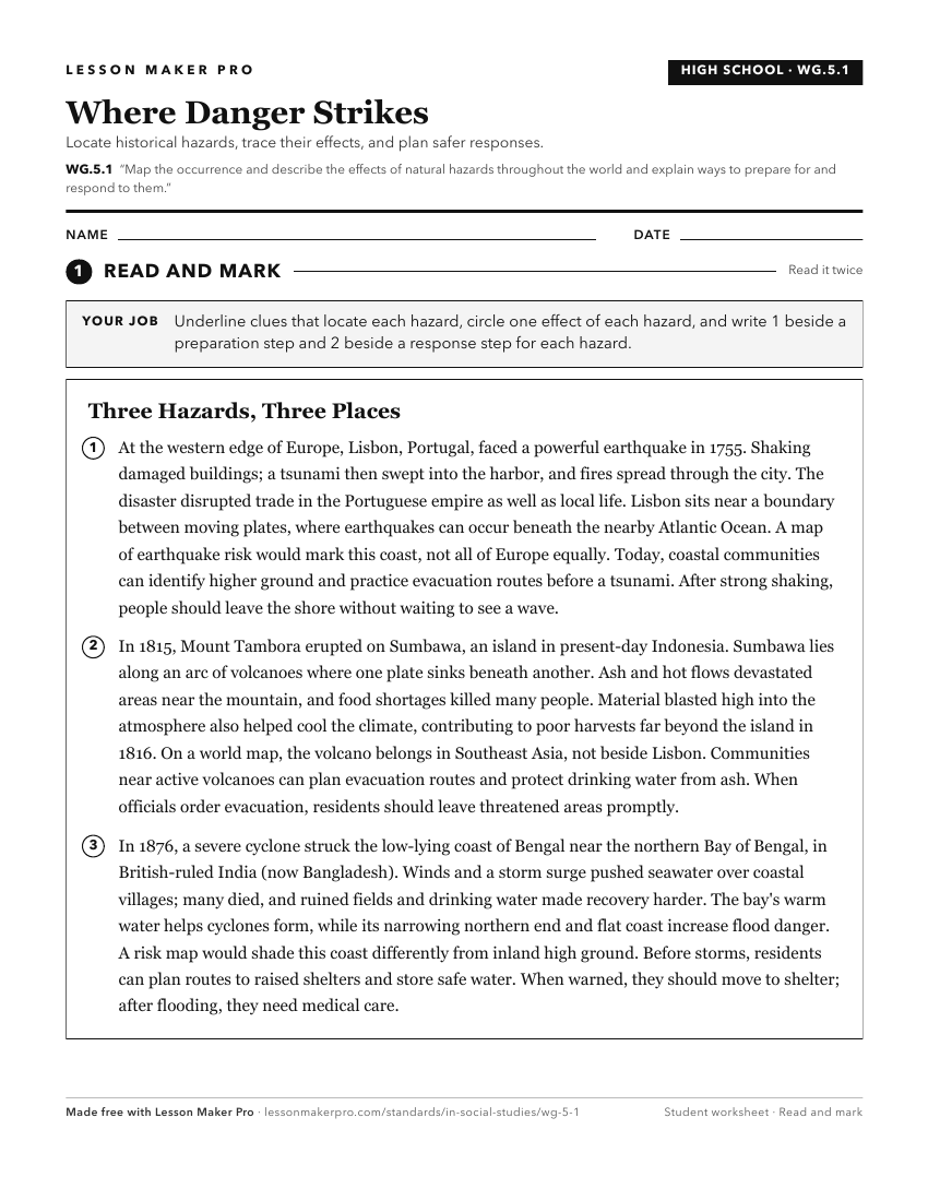
A ready-to-print activity worksheet aligned to WG.5.1, with an answer key for the teacher on its own page. No account needed.
PDF, US Letter, prints cleanly in black and white.
Download the worksheetKeep exploring
Related Standards
- WG.3.5
Illustrate and graph with precision the occurrence of earthquakes and tsunami and volcanic activity on Earth over a given period of time (at least several month...
- 3.G.8
Identify and describe how human activities and natural systems affect the local environment.
- WG.5.2
Analyze the possible effect of a natural disaster on the local community and devise plans to prepare for and respond to a disaster so as to minimize or mitigate...
- GHW.9.1
Use maps to identify regions in the world where particular natural disasters occur frequently, and analyze how the physical and human environments have been mod...
Turn this exact standard into a lesson
Grade, subject, topic, and the complete standard are prefilled. Create one free, no account needed.
Also for this standard:Make a WorksheetMake a QuizMake a Sub Lesson