Indiana Social Studies WG.3.2
The Standard
Identify and account for the distribution pattern of the world’s climates, taking into account the Earth/Sun relationship, ocean currents, prevailing winds, and latitude and longitude.
2026 Indiana Academic Standards: K-12 Social Studies
Teacher's field guide
What This Standard Means
What Students Need to Do
- Locate broad climate belts on a world map and connect them to latitude and sunlight. Explain how Earth's tilt changes sunlight through the year. Use longitude to locate places, then use ocean currents and prevailing winds to explain climate differences.
What Mastery Looks Like
- A student can mark tropical, temperate, and polar belts on a map and explain why sunlight is less direct toward the poles. Given two places at similar latitudes, they can use current and wind arrows to explain why one is warmer or wetter. They use longitude to locate places, not as a cause of climate.
Common Misconceptions
- Students may think longitude changes sunlight the way latitude does. Some say seasons happen because Earth moves closer to the Sun. Others assume places at the same latitude must have the same climate.
How to Assess It
- Ask: London and Calgary are both near 51° N. Why is London generally milder? Use an ocean current map and prevailing wind arrows in your answer.
Lesson moves
Ways to Teach It
Use a globe and desk lamp to compare the light spread at the equator and 60° N, then reverse the globe's tilt.
Show London and Calgary on a wind and current map. Ask students to explain why their climates differ despite similar latitudes.
Give teams cards for London, Calgary, Mumbai, and Lima, plus wind and current maps; match each place to a climate description.
Compare January average temperatures for London and Calgary from a climate table, then trace Atlantic currents and prevailing winds on a map.
Free download
Printable WG.3.2 Worksheet
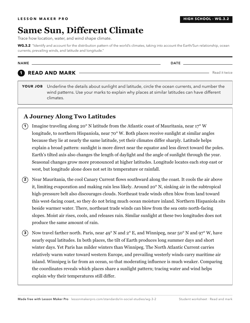
A ready-to-print activity worksheet aligned to WG.3.2, with an answer key for the teacher on its own page. No account needed.
PDF, US Letter, prints cleanly in black and white.
Download the worksheetKeep exploring
Related Standards
- 5.G.4
Use maps to describe the characteristics of climate regions of the United States.
- GHW.12.1
Analyze global climate change forecasts for different parts of Earth and the implications of these changes for humans.
- 6.G.3
Locate, describe, and compare major physical characteristics of regions (e.g., climate, plains) of Europe and the Americas.
- WG.3.3
Describe the world patterns of natural vegetation and biodiversity and their relations to world climate patterns.
Turn this exact standard into a lesson
Grade, subject, topic, and the complete standard are prefilled. Create one free, no account needed.
Also for this standard:Make a WorksheetMake a QuizMake a Sub Lesson