Indiana Social Studies WG.2.3
The Standard
Explain how the concept of “region” is used as a way of categorizing, interpreting, and ordering complex information about Earth. Give examples of how people create regions to understand Earth’s complexity.
2026 Indiana Academic Standards: K-12 Social Studies
Teacher's field guide
What This Standard Means
What Students Need to Do
- Students group places using a clear rule, such as climate, language, or shared time. They use those groups to spot patterns and explain why a different rule makes a different map.
What Mastery Looks Like
- A student can draw two different regions on the same map and name the rule for each. They can explain what each grouping shows and why a place can belong to both.
Common Misconceptions
- Students may treat every regional boundary as a natural, permanent line. They may think a country fits only one region or that everyone in a language region speaks the same language.
How to Assess It
- Show a US time zone map and ask: “What rule groups these places, how does that help someone schedule a call, and why might a climate map draw different lines?”
Lesson moves
Ways to Teach It
Give pairs a labeled world map and two pencils; outline Mediterranean-bordering countries in blue and European countries in red, then compare overlaps.
Ask students: “Does Turkey belong to Europe, Asia, or both?” Have them write two answers using different rules.
Hand out cards listing the continent and major language for Brazil, Mexico, Egypt, and Spain; groups sort them twice and explain each grouping.
Show a US time zone map; students plan a call between New York and Los Angeles and explain why the regional boundaries matter.
Free download
Printable WG.2.3 Worksheet
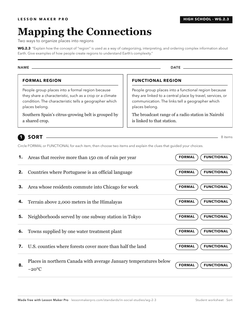
A ready-to-print activity worksheet aligned to WG.2.3, with an answer key for the teacher on its own page. No account needed.
PDF, US Letter, prints cleanly in black and white.
Download the worksheetKeep exploring
Related Standards
- WG.2.1
Give examples of how and why places and regions change or do not change over time.
- WG.2.2
Analyze and provide examples of ways in which people's changing views of places and regions reflect cultural changes; explain how people's views of physical fea...
- GHW.8.1
Use maps to show the location and distribution of Earth’s resources, and analyze how this distribution changes over time and affects trade among countries, regi...
- 3.G.5
Explain that regions are areas that have similar physical and cultural characteristics. Identify Indiana and the local community as part of a specific region.
Turn this exact standard into a lesson
Grade, subject, topic, and the complete standard are prefilled. Create one free, no account needed.
Also for this standard:Make a WorksheetMake a QuizMake a Sub Lesson