Indiana Social Studies WG.1.3
The Standard
Create and compare mental maps or personal perceptions of places. Explain how experiences and culture influence these perceptions and identify ways in which mental maps influence decisions.
2026 Indiana Academic Standards: K-12 Social Studies
Teacher's field guide
What This Standard Means
What Students Need to Do
- Students sketch places from memory and compare the landmarks and routes they include. They explain how experience and culture shape what they notice. They show how those perceptions can affect choices, such as which route to take.
What Mastery Looks Like
- A student can name specific differences between their sketch and a classmate's, such as a market one drew but the other left out. They can explain a possible reason for each difference and how it might change a route or meeting spot.
Common Misconceptions
- Students may think a memory sketch is wrong if distances are not exact. They may assume everyone notices the same landmarks or that route choices come only from road layouts, not from how people see a place.
How to Assess It
- Ask students to sketch the area around school from memory and compare it with a partner's sketch. Have them label one difference, an experience and a cultural practice that shape their own sketch, and a route choice their sketch might affect.
Lesson moves
Ways to Teach It
Draw the area around school from memory on blank paper, trade sketches, and circle two landmarks that differ.
Write about how a family tradition or community event could make one place stand out on your sketch.
Play route swap: use two memory sketches of one neighborhood to choose a meeting spot and explain why the choices differ.
Plan a grocery trip using your memory sketch and a bus map, then note which missing stop changes your route.
Free download
Printable WG.1.3 Worksheet
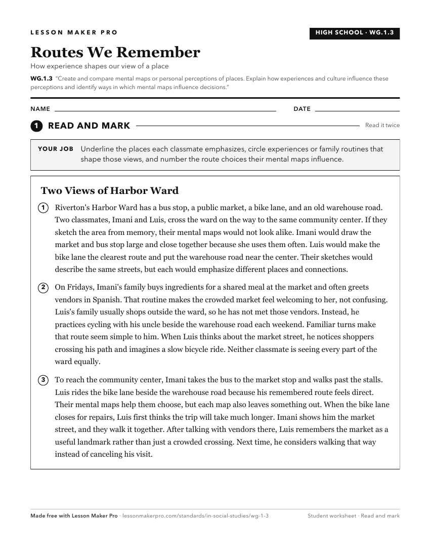
A ready-to-print activity worksheet aligned to WG.1.3, with an answer key for the teacher on its own page. No account needed.
PDF, US Letter, prints cleanly in black and white.
Download the worksheetKeep exploring
Related Standards
- WG.4.2
Develop maps of human migration and settlement patterns at different times in history and compare them to the present.
- WG.2.2
Analyze and provide examples of ways in which people's changing views of places and regions reflect cultural changes; explain how people's views of physical fea...
- K.G.4
Identify maps and globes as tools that represent the Earth and identify and describe differences between land and water.
- 2.G.3
Compare neighborhoods in the local community or region, and explain how physical features of the community affect people living there.
Turn this exact standard into a lesson
Grade, subject, topic, and the complete standard are prefilled. Create one free, no account needed.
Also for this standard:Make a WorksheetMake a QuizMake a Sub Lesson