Indiana Social Studies GHW.4.1
The Standard
Analyze maps and assess ways that colonialism and imperialism have persisted and continue to evolve in the contemporary world.
2026 Indiana Academic Standards: K-12 Social Studies
Teacher's field guide
What This Standard Means
What Students Need to Do
- Students compare colonial-era maps with current borders and trade maps. They identify what has stayed the same, what has changed, and what the maps cannot prove on their own.
What Mastery Looks Like
- A student can point to a border inherited from colonial rule and support the claim with two maps. They can use a current trade map to raise a question about foreign influence without treating a trade route as proof of control.
Common Misconceptions
- Some students assume political independence ended all foreign influence. Others treat an unchanged border as proof of current colonial rule, or assume a trade route shows who profits from it.
How to Assess It
- Show a 1914 colonial Africa map, a current borders map, and a current mineral export map. Ask students to name one border that remains, one possible form of foreign influence, and one fact the maps cannot tell them.
Lesson moves
Ways to Teach It
Have students lay tracing paper over a 1914 Africa map, copy two borders, and compare them with a current political map.
Ask, 'Does an unchanged border prove a country is still controlled from abroad?' Have students cite a map and name missing evidence.
Give pairs claim cards, including 'border unchanged' and 'exports prove control,' to sort into supported and unsupported piles using two maps.
Trace cobalt shipments from DR Congo to battery factories on a supply-chain map, then list the ownership facts needed to judge foreign influence.
Free download
Printable GHW.4.1 Worksheet
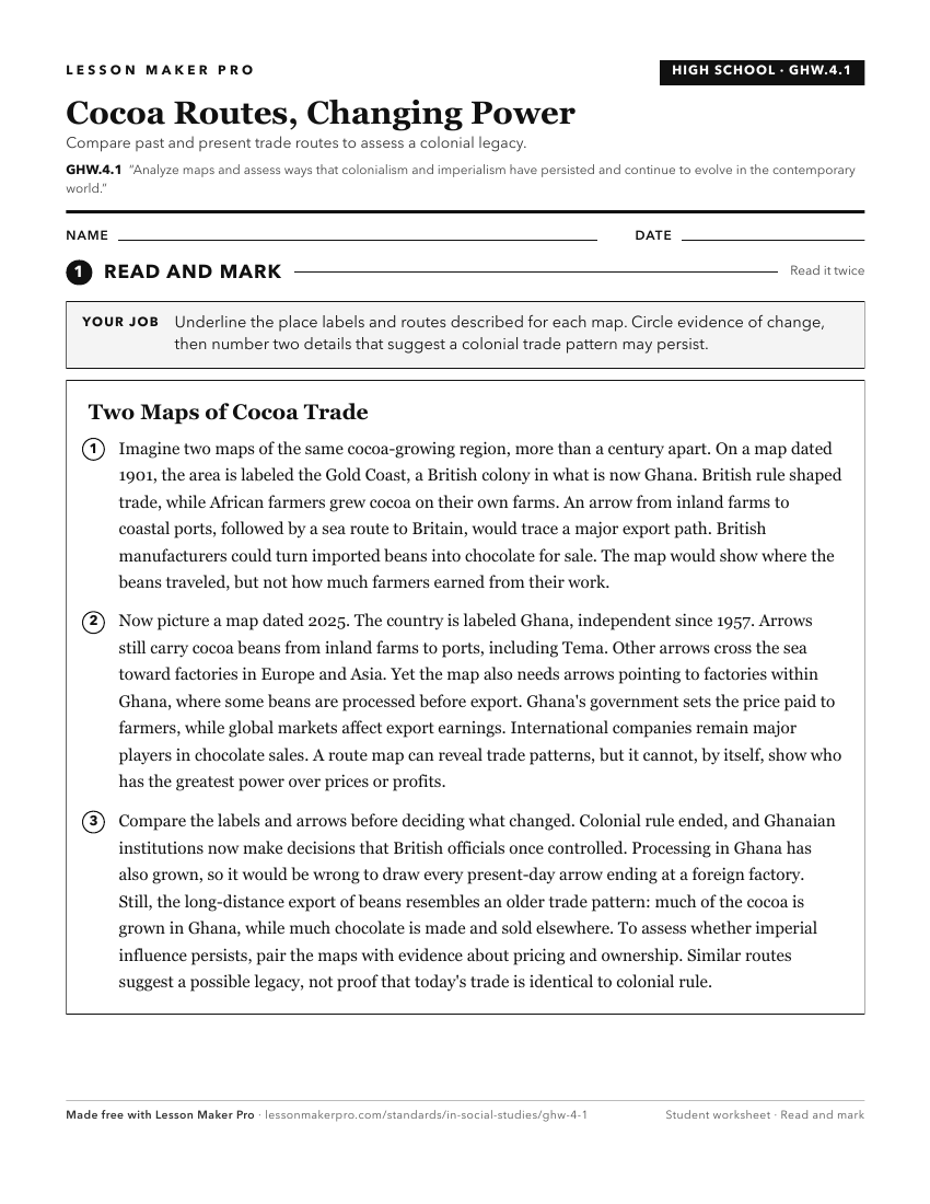
A ready-to-print activity worksheet aligned to GHW.4.1, with an answer key for the teacher on its own page. No account needed.
PDF, US Letter, prints cleanly in black and white.
Download the worksheetKeep exploring
Related Standards
- 7.G.3
Use historical and modern maps to identify changes in Africa, Asia, and the Southwest Pacific over time, highlighting physical and human systems.
- WG.4.2
Develop maps of human migration and settlement patterns at different times in history and compare them to the present.
- WH.5.5
Analyze the causes and consequences of 19th century imperialism for Asia, Africa, and the Americas, including resistance movements to imperial control.
- 7.H.14
Analyze the causes of modern global conflicts from 1945 to the present, and evaluate the responses of individual nations and international organizations in addr...
Turn this exact standard into a lesson
Grade, subject, topic, and the complete standard are prefilled. Create one free, no account needed.
Also for this standard:Make a WorksheetMake a QuizMake a Sub Lesson