Indiana Social Studies 5.G.8
The Standard
Identify and locate the 13 British colonies by region (i.e., New England, Middle, Southern).
2026 Indiana Academic Standards: K-12 Social Studies
Teacher's field guide
What This Standard Means
What Students Need to Do
- Students label all 13 colonies on a blank map. They sort them into New England, Middle, and Southern groups.
What Mastery Looks Like
- A student places and labels all 13 colonies without a word bank. They shade each region correctly and can place Delaware and Maryland in the right groups.
Common Misconceptions
- Students may put Delaware in the Southern group or Maryland in the Middle group because both sit near a regional boundary. They may swap North and South Carolina or label West Virginia as a separate colony.
How to Assess It
- Give students a blank colonial map and a list of the 13 colonies. Ask them to label each colony and use three colors to mark the regions.
Lesson moves
Ways to Teach It
Give pairs 13 labeled paper colony tiles to place on a blank map, then have them color the three regions.
Ask, "Which region includes Delaware, and which includes Maryland?" Have students point to both on a map and write one sentence.
Call out colony names while students point to each on a desk map and hold up a region card.
On a current state map, have students find Boston, Philadelphia, and Savannah, then name each city's former colony and region.
Free download
Printable 5.G.8 Worksheet
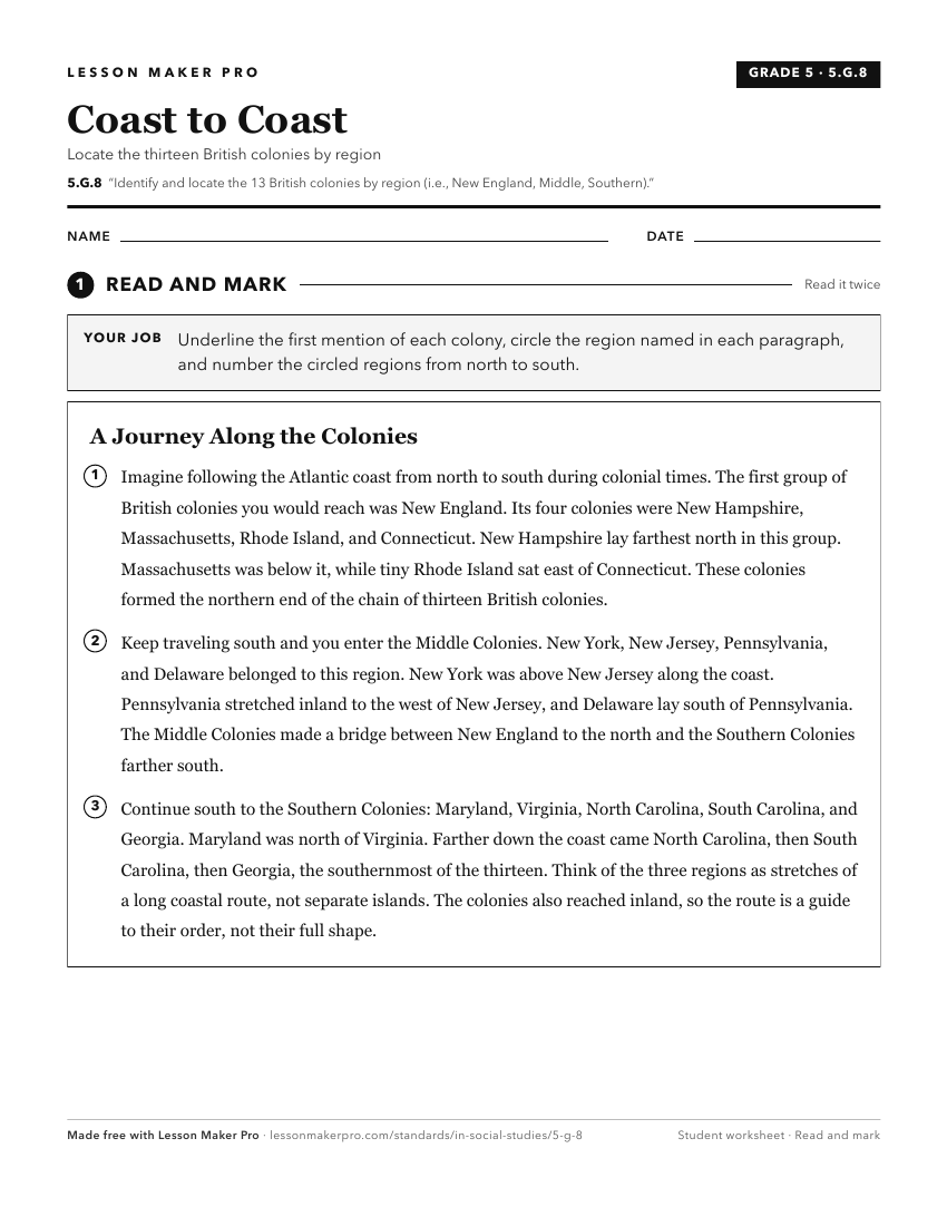
A ready-to-print activity worksheet aligned to 5.G.8, with an answer key for the teacher on its own page. No account needed.
PDF, US Letter, prints cleanly in black and white.
Download the worksheetKeep exploring
Related Standards
- 5.G.9
Describe the political and social organization of each region (i.e., New England, Middle, Southern) that comprised the 13 British colonies.
- 5.G.10
Explain the economic organization of each region (i.e., New England, Middle, Southern) that comprised the 13 British colonies.
- 8.H.4
Identify and explain the reasons and actions for the resistance and rebellion against British imperial rule by the 13 colonies in North America (1761–1775).
- 5.H.4
Locate the early Spanish, French, and British settlements on a map, and compare the origins, physical structure, and social structure of these settlements.
Turn this exact standard into a lesson
Grade, subject, topic, and the complete standard are prefilled. Create one free, no account needed.
Also for this standard:Make a WorksheetMake a QuizMake a Sub Lesson