Idaho Social Studies 6-9.WG.2.1
The Standard
Apply latitude and longitude to locate places on Earth.
Idaho Content Standards: K-12 Social Studies
Teacher's field guide
What This Standard Means
What Students Need to Do
- Students use latitude to move north or south of the equator. They use longitude to move east or west of the prime meridian, then find where the lines cross.
What Mastery Looks Like
- Given a gridded map, a student plots 40° N, 100° W at the correct intersection. They can write coordinates for a marked point and name its hemispheres.
Common Misconceptions
- Students may swap latitude and longitude or confuse N and S with E and W. Some mark a point anywhere along the right latitude line without checking longitude.
How to Assess It
- On a world map with a 10-degree grid, plot 40° N, 100° W. Write the two hemispheres where your point falls.
Lesson moves
Ways to Teach It
Give pairs laminated world maps and dry-erase markers; have them plot 20° S, 50° W and compare their marks.
Ask: Why do 20° N, 50° W and 20° S, 50° W mark different places? Have students write two sentences.
Play coordinate bingo with cards showing labeled map points; call coordinates and have students cover the matching point.
Show a ship's reported position at 30° N, 50° W; have students locate it and name the ocean a rescue crew would search.
Free download
Printable 6-9.WG.2.1 Worksheet
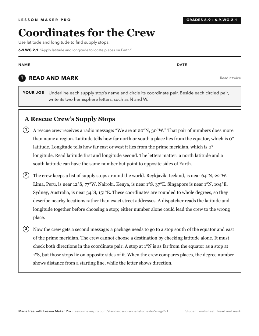
A ready-to-print activity worksheet aligned to 6-9.WG.2.1, with an answer key for the teacher on its own page. No account needed.
PDF, US Letter, prints cleanly in black and white.
Download the worksheetKeep exploring
Related Standards
- 6-9.WG.2.7
Identify the names and locations of countries and major cities in regions around the world.
- 1.SS.2.1.c
locating Idaho, the United States, continents, and oceans on maps and globes
- 6-9.WG.2.3
Describe the relative location of people, places, and objects by using positional words, including but not limited to cardinal directions and distance.
- 5.SS.2.4
Read, analyze, and interpret maps, including the use of latitude and longitude aerial photography, satellite images, and other geospatial products.
Turn this exact standard into a lesson
Grade, subject, topic, and the complete standard are prefilled. Create one free, no account needed.
Also for this standard:Make a WorksheetMake a QuizMake a Sub Lesson