Idaho Social Studies 6-9.WG.2.7
The Standard
Identify the names and locations of countries and major cities in regions around the world.
Idaho Content Standards: K-12 Social Studies
Teacher's field guide
What This Standard Means
What Students Need to Do
- Students find and name countries on regional maps. They locate major cities and identify which country each city is in.
What Mastery Looks Like
- Given an unlabeled regional map, students label countries and place major cities in the right locations. They use borders and coastlines to check their work.
Common Misconceptions
- Students may confuse a continent, such as Africa, with a country. They may know a city is in a region but place it in the wrong country.
How to Assess It
- On a blank East Asia map with borders and marked city dots, have students label China, Japan, South Korea, Beijing, Tokyo, and Seoul.
Lesson moves
Ways to Teach It
Give pairs a blank East Asia map and cards for China, Japan, South Korea, Beijing, Tokyo, and Seoul to place on it.
Ask: How do borders and coastlines help you find South Korea on an unlabeled map?
Play map relay: call out France, Spain, Paris, or Madrid, and have teams point to each on a blank Europe map.
Show flight routes from Tokyo to Seoul and Beijing; have students find each city and country on a map.
Free download
Printable 6-9.WG.2.7 Worksheet
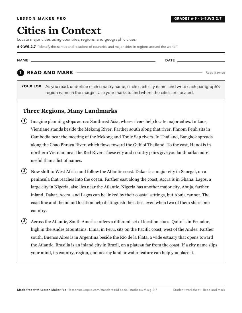
A ready-to-print activity worksheet aligned to 6-9.WG.2.7, with an answer key for the teacher on its own page. No account needed.
PDF, US Letter, prints cleanly in black and white.
Download the worksheetKeep exploring
Related Standards
- 6-9.WG.2.8
Describe major physical characteristics of regions throughout the world.
- 2.SS.2.1.d
Identifying and locating the seven continents and the five oceans
- 6-9.WG.3.5
Identify economic connections between local, national, and global economies in regions throughout the world.
- 6-9.WG.2.11
Analyze the locations of the major manufacturing and agricultural areas in regions throughout the world.
Turn this exact standard into a lesson
Grade, subject, topic, and the complete standard are prefilled. Create one free, no account needed.
Also for this standard:Make a WorksheetMake a QuizMake a Sub Lesson