Idaho Social Studies 6-9.WG.2.11
The Standard
Analyze the locations of the major manufacturing and agricultural areas in regions throughout the world.
Idaho Content Standards: K-12 Social Studies
Teacher's field guide
What This Standard Means
What Students Need to Do
- Students locate major farming and manufacturing areas in different world regions. They use maps to explain why crops cluster in some places and factories in others. They point to water, land, resources, or transport as evidence.
What Mastery Looks Like
- A student can mark the U.S. Great Plains and India's Ganges Plain as farming areas, and China's east coast and Germany's Ruhr as manufacturing areas. They can explain each choice with a relevant map clue.
Common Misconceptions
- Students may assume factories always sit next to mines, even when ports and transport routes matter. They may put farms anywhere with warm weather and overlook water supply or suitable land.
How to Assess It
- Give students a world map with rivers and ports marked. Have them label the Ganges Plain and China's east coast, then write one location advantage for farming and one for manufacturing.
Lesson moves
Ways to Teach It
Using an atlas, place crop and factory tokens on the Pampas, U.S. Great Plains, Ruhr, and China's coast; explain each placement.
Ask: Why might factories cluster along China's coast while farms cluster on India's Ganges Plain? Use a river or port as evidence.
Play map match: teams sort Nile Delta, Canadian Prairies, Ruhr, and China's coast cards into farming or manufacturing using atlas clues.
Use produce and classroom product origin labels to mark where each came from; check the map for rivers and ports near those places.
Free download
Printable 6-9.WG.2.11 Worksheet
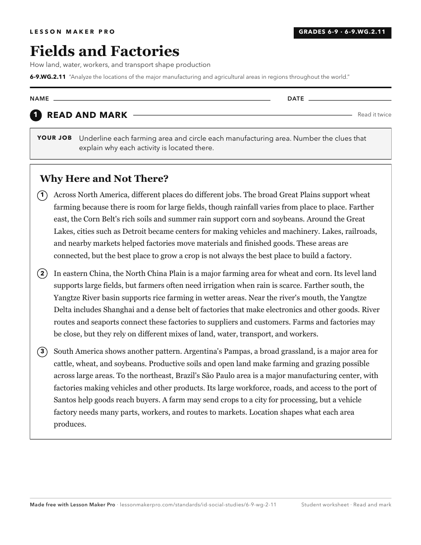
A ready-to-print activity worksheet aligned to 6-9.WG.2.11, with an answer key for the teacher on its own page. No account needed.
PDF, US Letter, prints cleanly in black and white.
Download the worksheetKeep exploring
Related Standards
- 6-9.WG.2.4
Locate, map, and describe the climate of regions throughout the world and analyze their impact on human activity and living conditions.
- 6-9.WG.2.7
Identify the names and locations of countries and major cities in regions around the world.
- 6-9.WG.3.5
Identify economic connections between local, national, and global economies in regions throughout the world.
- 6-9.WG.2.12
Analyze the availability of natural resources in regions throughout the world.
Turn this exact standard into a lesson
Grade, subject, topic, and the complete standard are prefilled. Create one free, no account needed.
Also for this standard:Make a WorksheetMake a QuizMake a Sub Lesson